Transport Functions
Multimodal
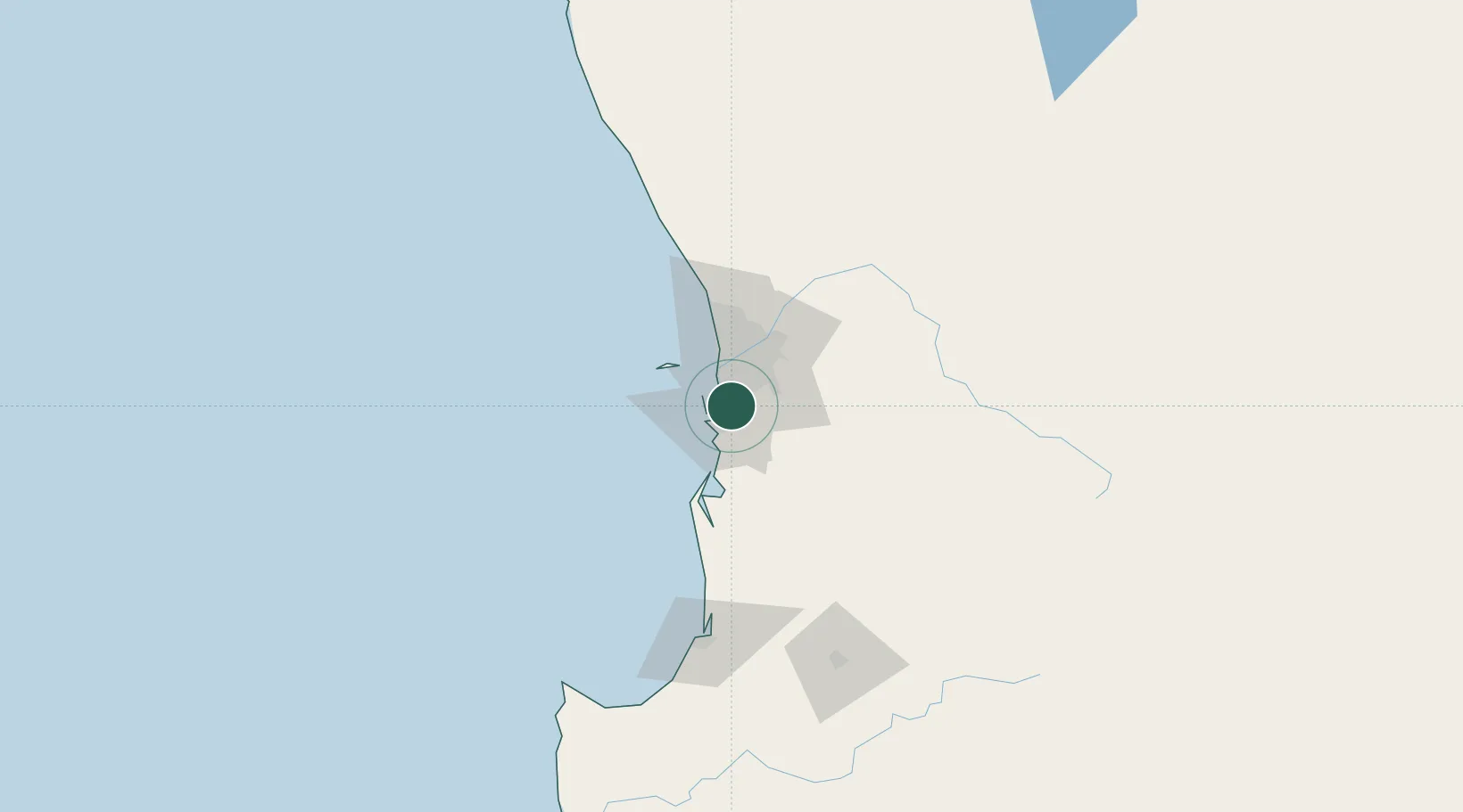
Hub Profile
Place type
Urban district
Region
Western Australia
Population
51
Time zone
Australia/Perth
Elevation
30 m
Location
Nearby Logistics Neighbours
Cities
- 1Kwinana2 km
- 2Naval Base4 km
- 3Henderson6 km
- 4Oakford11 km
- 5Bibra Lake15 km
Airports
- 1Perth Jandakot Airport14 km
- 2Perth International Airport33 km
- 3RAAF Base Pearce63 km
- 4Busselton Margaret River Regional Airport170 km
- 5Karara Airport342 km
Trade Zones
- 1KEK Mandalika2592 km
- 2Oecusse Ambeno Enclave Special Zone For Social Market Economy (Zeesm)2689 km
- 3KEK Singhasari2724 km
- 4Pasuruan Industrial Estate Rembang2752 km
- 5Ngoro Industrial Park2759 km
DatabookThe Record of Consolidated Knowledge
Australia beyond logistics?