UN/LOCODE hub · Australia
AUPDI
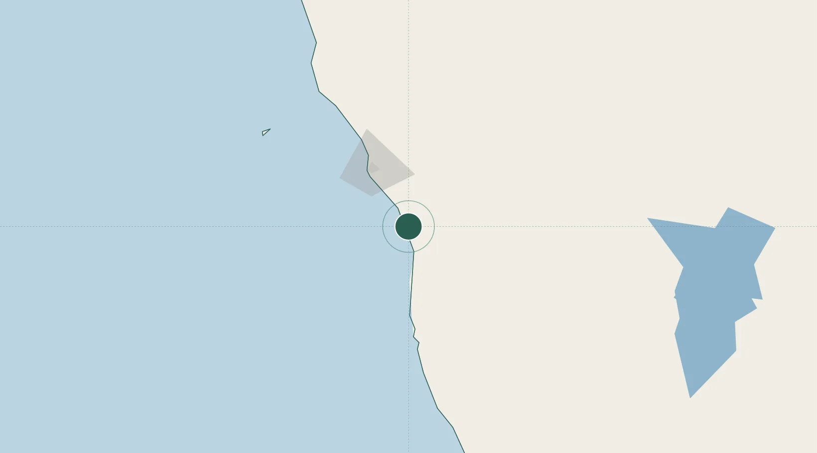
Port Denison
-29.2667°, 114.9333°
1,500
Population
2
Transport functions
Transport Functions
Port
Road
Hub Profile
Place type
Populated place
Region
Western Australia
Population
1,500
Time zone
Australia/Perth
Elevation
3 m
Location
Nearby Logistics Neighbours
Ports
- 1Geraldton63 km
- 2Fremantle319 km
- 3Useless Loop385 km
- 4Bunbury455 km
- 5Cape Cuvier582 km
Airports
- 1Geraldton Airport57 km
- 2Karara Airport170 km
- 3Kalbarri Airport187 km
- 4RAAF Base Pearce286 km
- 5Mount Magnet Airport311 km
Trade Zones
- 1KEK Mandalika2270 km
- 2KEK Singhasari2390 km
- 3Pasuruan Industrial Estate Rembang2419 km
- 4Oecusse Ambeno Enclave Special Zone For Social Market Economy (Zeesm)2422 km
- 5Ngoro Industrial Park2426 km
DatabookThe Record of Consolidated Knowledge
Australia beyond logistics?