Medium airport · Australia
Mount Magnet AirportYMOG
-28.1161°, 117.8420°
5,906 ft
Longest runway
2
Runways
1,354 ft
Elevation
Runway & Layout

Radio Frequencies
CTAF
126.7 MHz
FSS
124.8 MHz
MELBOURNE CNTR
Navaids
MOG NDB Mount Magnet 395 kHz
Runways · 2
| Runway | Dimensions | Surface | True heading | Lit |
|---|---|---|---|---|
| 16/34 | 5,906 × 98ft | Permanent | 161° | ✓ |
| 04/22 | 2,953 × 98ft | Permanent | 036° | ✓ |
Airport Specifications
IATA code
MMG
ICAO code
YMOG
Airport class
Medium airport
Scheduled service
Yes
Runway surface
Permanent
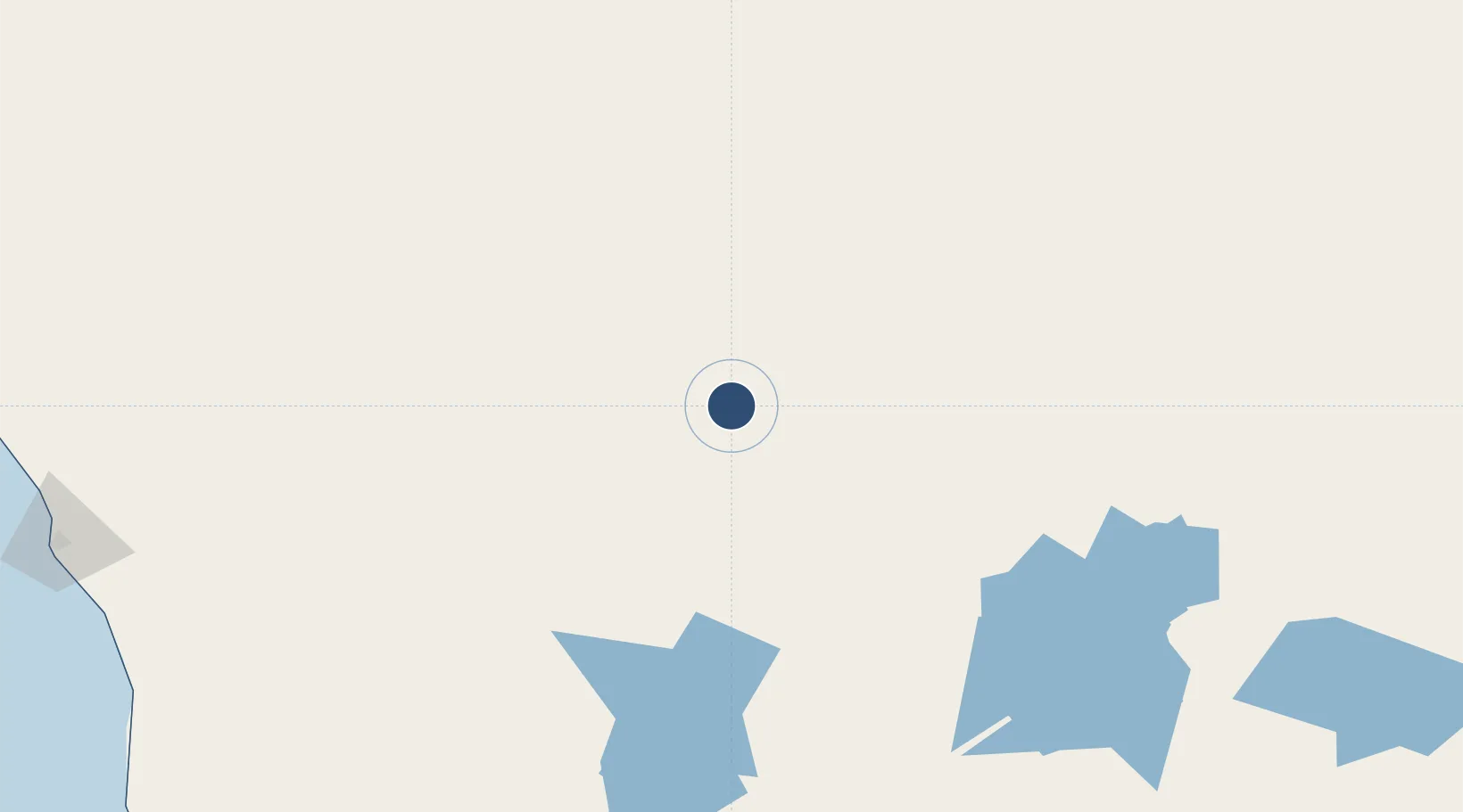
Location
Nearby Logistics Neighbours
Airports
- 1Karara Airport166 km
- 2Meekatharra Airport181 km
- 3Mount Keith Airport283 km
- 4Leinster Airport283 km
- 5Wiluna Airport287 km
Cities
- 1Mount Magnet7 km
- 2Melville109 km
- 3Pindar207 km
- 4Bencubbin300 km
- 5Port Denison311 km
Ports
- 1Geraldton326 km
- 2Fremantle482 km
- 3Useless Loop494 km
- 4Bunbury616 km
- 5Cape Cuvier621 km
Trade Zones
- 1KEK Mandalika2143 km
- 2Oecusse Ambeno Enclave Special Zone For Social Market Economy (Zeesm)2195 km
- 3KEK Singhasari2315 km
- 4Pasuruan Industrial Estate Rembang2341 km
- 5Ngoro Industrial Park2351 km
DatabookThe Record of Consolidated Knowledge
Australia beyond logistics?