Transport Functions
Port
Rail
Road
Postal
Hub Profile
Place type
Urban district
Region
Western Australia
Population
183
Time zone
Australia/Perth
Elevation
13 m
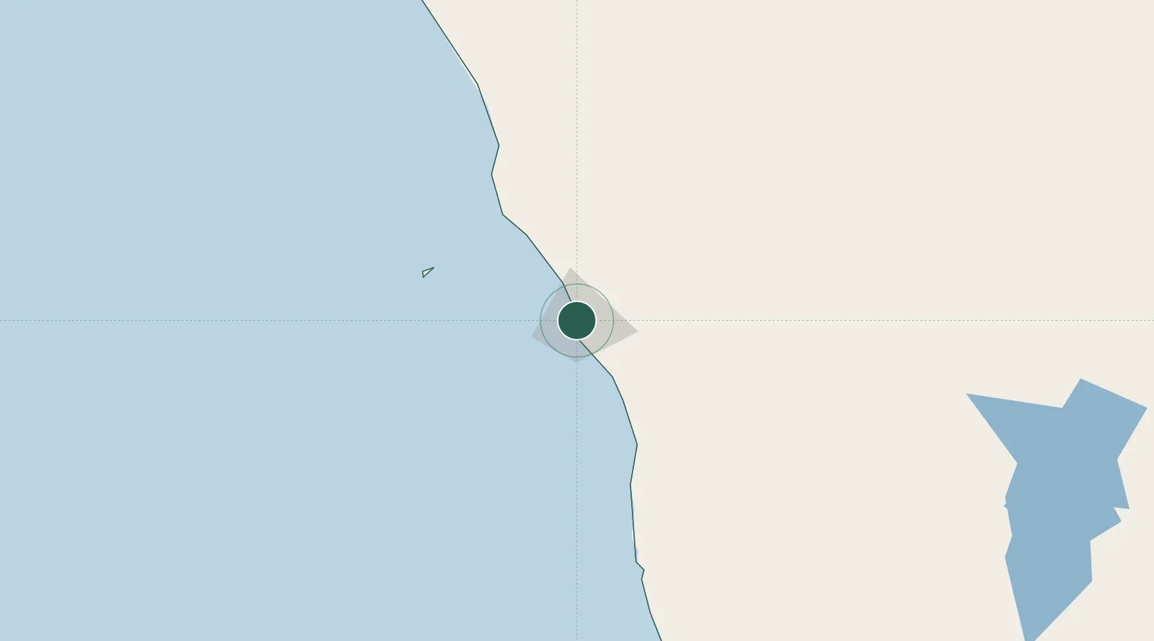
Location
Nearby Logistics Neighbours
Cities
- 1Port Denison65 km
- 2Pindar116 km
- 3Melville216 km
- 4Moora248 km
- 5Gingin314 km
Ports
- 1Geraldton4 km
- 2Useless Loop320 km
- 3Fremantle383 km
- 4Bunbury517 km
- 5Cape Cuvier519 km
Airports
- 1Geraldton Airport10 km
- 2Kalbarri Airport123 km
- 3Karara Airport208 km
- 4Mount Magnet Airport323 km
- 5Shark Bay Airport334 km
Trade Zones
- 1KEK Mandalika2215 km
- 2KEK Singhasari2330 km
- 3Pasuruan Industrial Estate Rembang2359 km
- 4Ngoro Industrial Park2365 km
- 5Safe N Lock Industrial Estate2375 km
DatabookThe Record of Consolidated Knowledge
Australia beyond logistics?