Transport Functions
Rail
Road
Hub Profile
Place type
Populated place
Region
Western Australia
Population
27
Time zone
Australia/Perth
Elevation
337 m
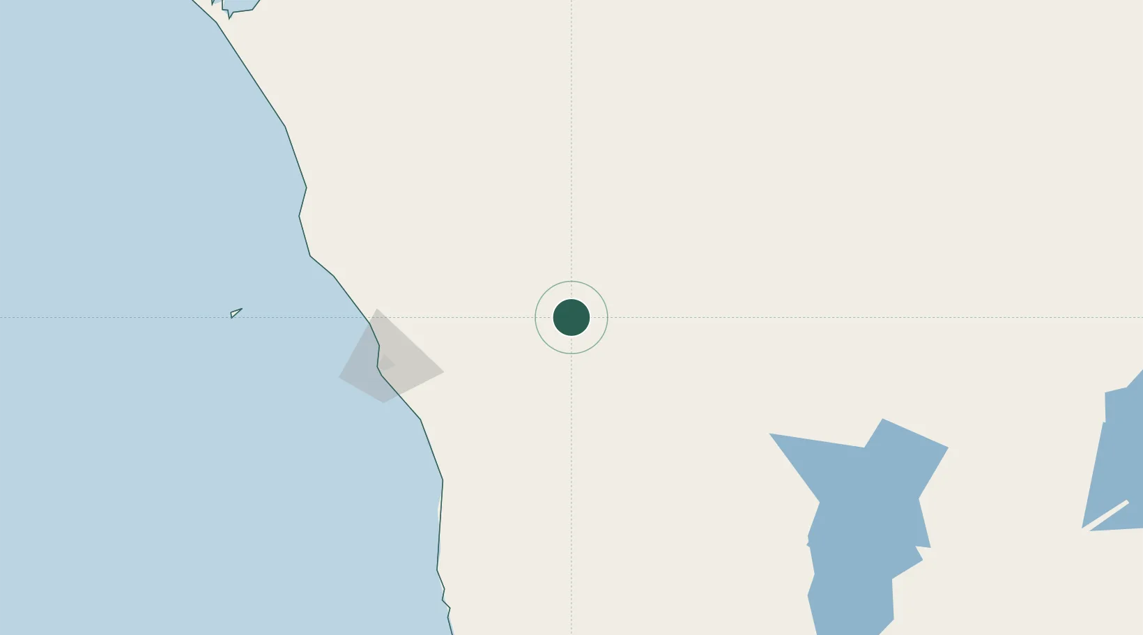
Location
Nearby Logistics Neighbours
Cities
- 1Melville100 km
- 2Webberton116 km
- 3Port Denison119 km
- 4Mount Magnet208 km
- 5Moora240 km
Ports
- 1Geraldton119 km
- 2Useless Loop355 km
- 3Fremantle397 km
- 4Cape Cuvier531 km
- 5Bunbury538 km
Airports
- 1Geraldton Airport109 km
- 2Karara Airport121 km
- 3Kalbarri Airport172 km
- 4Mount Magnet Airport207 km
- 5Meekatharra Airport344 km
Trade Zones
- 1KEK Mandalika2179 km
- 2Oecusse Ambeno Enclave Special Zone For Social Market Economy (Zeesm)2309 km
- 3KEK Singhasari2314 km
- 4Pasuruan Industrial Estate Rembang2342 km
- 5Ngoro Industrial Park2350 km
DatabookThe Record of Consolidated Knowledge
Australia beyond logistics?