Transport Functions
Rail
Road
Hub Profile
Place type
Populated place
Region
Western Australia
Population
1,819
Time zone
Australia/Perth
Elevation
209 m
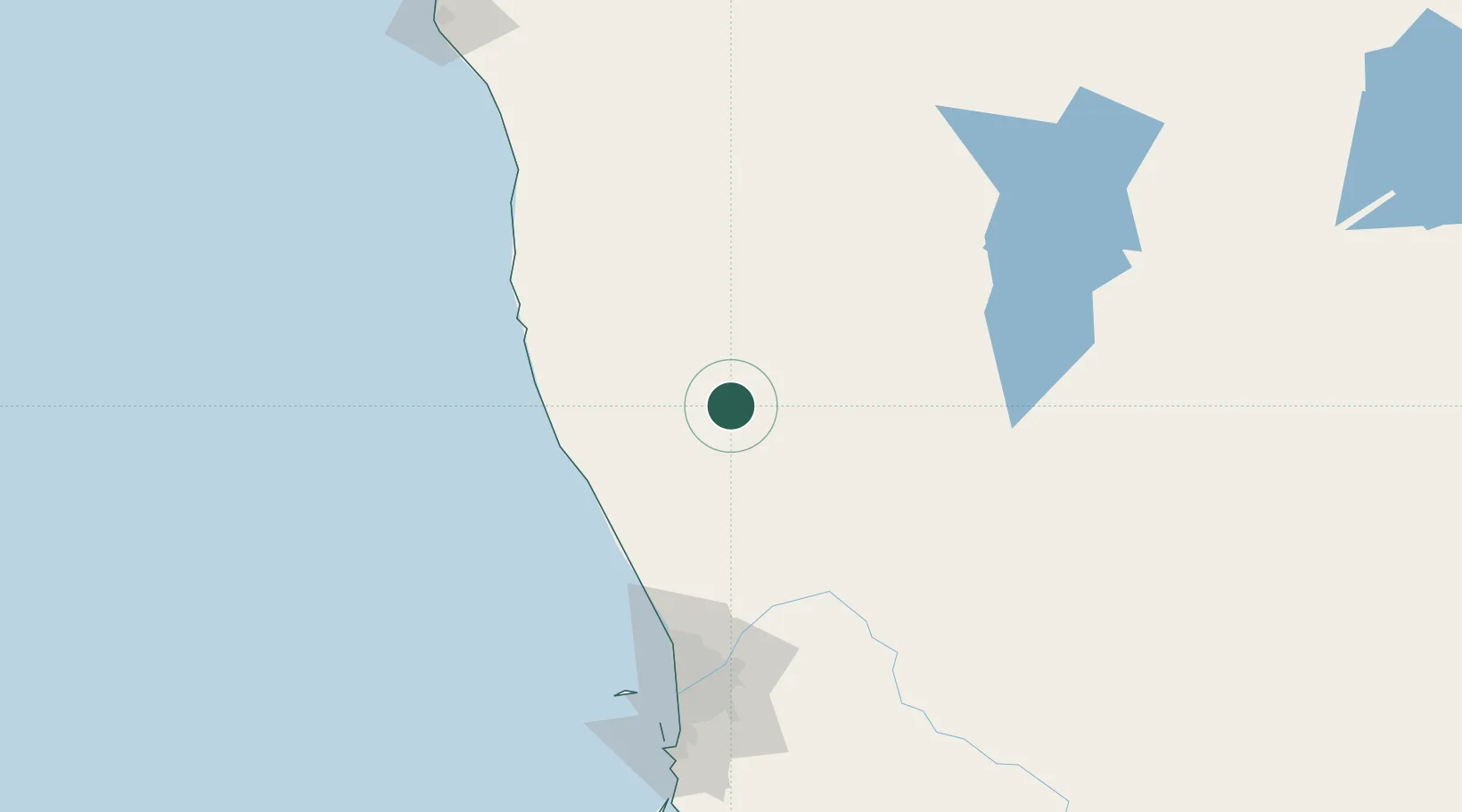
Location
Nearby Logistics Neighbours
Cities
- 1Gingin80 km
- 2Chittering95 km
- 3Muchea106 km
- 4Toodyay111 km
- 5Bullsbrook115 km
Ports
- 1Fremantle159 km
- 2Geraldton246 km
- 3Bunbury300 km
- 4Albany520 km
- 5Useless Loop566 km
Airports
- 1RAAF Base Pearce115 km
- 2Perth International Airport145 km
- 3Perth Jandakot Airport163 km
- 4Karara Airport171 km
- 5Geraldton Airport239 km
Trade Zones
- 1KEK Mandalika2417 km
- 2Oecusse Ambeno Enclave Special Zone For Social Market Economy (Zeesm)2520 km
- 3KEK Singhasari2554 km
- 4Pasuruan Industrial Estate Rembang2582 km
- 5Ngoro Industrial Park2590 km
DatabookThe Record of Consolidated Knowledge
Australia beyond logistics?