Medium airport · Australia
Geraldton AirportYGEL
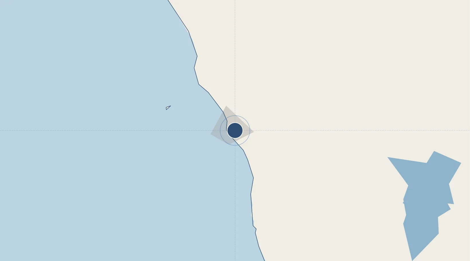
-28.7961°, 114.7070°
7,838 ft
Longest runway
3
Runways
121 ft
Elevation
Runway & Layout

Radio Frequencies
CTAF
126.7 MHz
FSS
121.2 MHz
MELBOURNE CNTR
Navaids
GEL VOR-DME Geraldton 113.90 MHz
GEL NDB Geraldton 359 kHz
Runways · 3
| Runway | Dimensions | Surface | True heading | Lit |
|---|---|---|---|---|
| 03/21 | 7,838 × 148ft | Asphalt | 018° | ✓ |
| 08/26 | 2,953 × 59ft | Gravel | 080° | — |
| 14/32 | 2,769 × 59ft | Asphalt | 143° | — |
Airport Specifications
IATA code
GET
ICAO code
YGEL
Airport class
Medium airport
Scheduled service
Yes
Runway surface
Asphalt
Served city
Moonyoonooka
Location
Nearby Logistics Neighbours
Airports
- 1Kalbarri Airport130 km
- 2Karara Airport198 km
- 3Mount Magnet Airport316 km
- 4Shark Bay Airport341 km
- 5RAAF Base Pearce343 km
Cities
- 1Webberton10 km
- 2Port Denison57 km
- 3Pindar109 km
- 4Melville209 km
- 5Moora239 km
Ports
- 1Geraldton11 km
- 2Useless Loop328 km
- 3Fremantle375 km
- 4Bunbury510 km
- 5Cape Cuvier526 km
Trade Zones
- 1KEK Mandalika2219 km
- 2KEK Singhasari2336 km
- 3Pasuruan Industrial Estate Rembang2365 km
- 4Ngoro Industrial Park2371 km
- 5Safe N Lock Industrial Estate2381 km
DatabookThe Record of Consolidated Knowledge
Australia beyond logistics?