Transport Functions
Multimodal
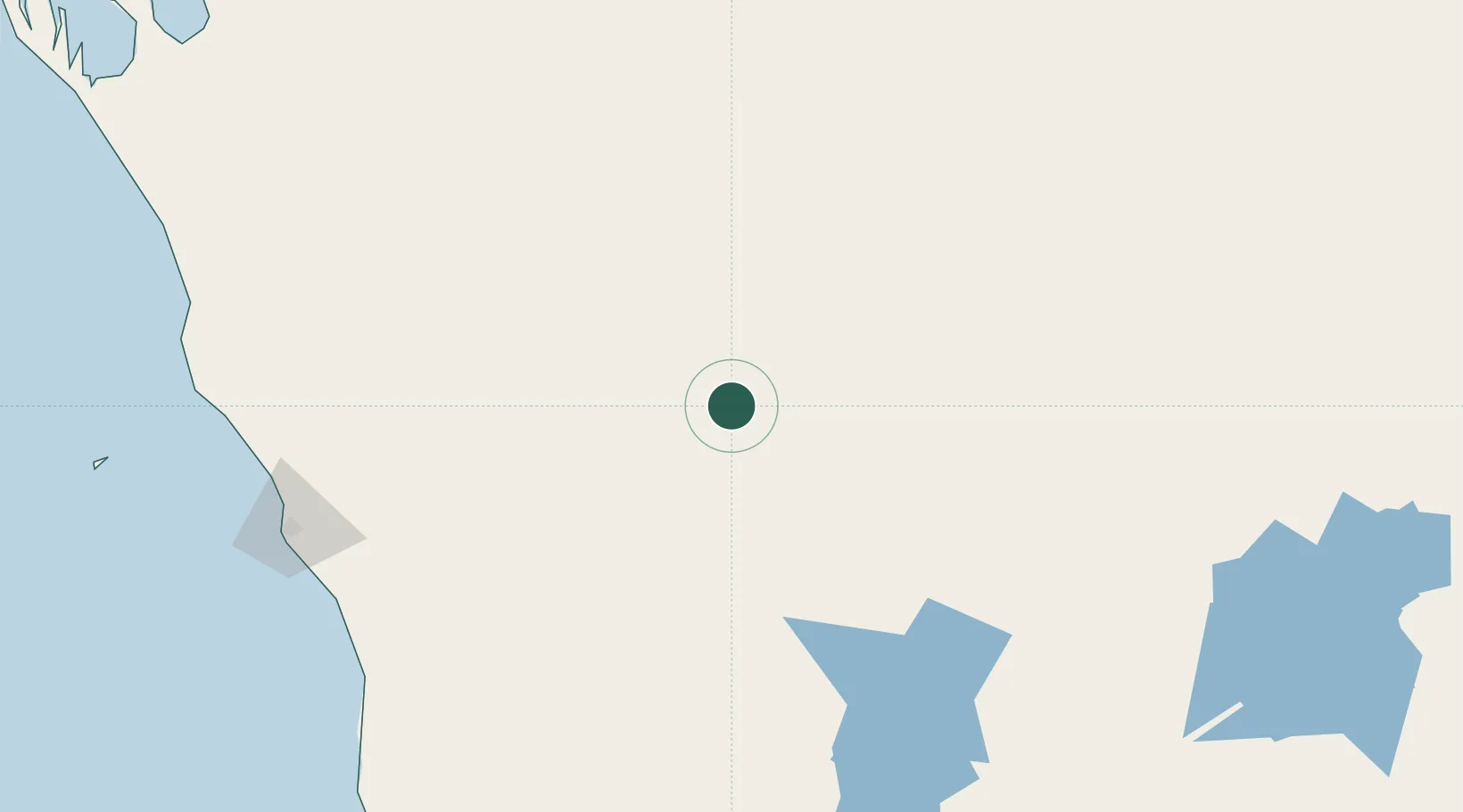
Hub Profile
Place type
Populated place
Region
Western Australia
Time zone
Australia/Perth
Elevation
379 m
Location
Nearby Logistics Neighbours
Cities
- 1Pindar100 km
- 2Mount Magnet109 km
- 3Port Denison213 km
- 4Webberton216 km
- 5Moora282 km
Ports
- 1Geraldton219 km
- 2Useless Loop404 km
- 3Fremantle440 km
- 4Cape Cuvier553 km
- 5Bunbury580 km
Airports
- 1Mount Magnet Airport109 km
- 2Karara Airport115 km
- 3Geraldton Airport209 km
- 4Kalbarri Airport249 km
- 5Meekatharra Airport250 km
Trade Zones
- 1KEK Mandalika2145 km
- 2Oecusse Ambeno Enclave Special Zone For Social Market Economy (Zeesm)2241 km
- 3KEK Singhasari2298 km
- 4Pasuruan Industrial Estate Rembang2325 km
- 5Ngoro Industrial Park2333 km
DatabookThe Record of Consolidated Knowledge
Australia beyond logistics?