Transport Functions
Rail
Road
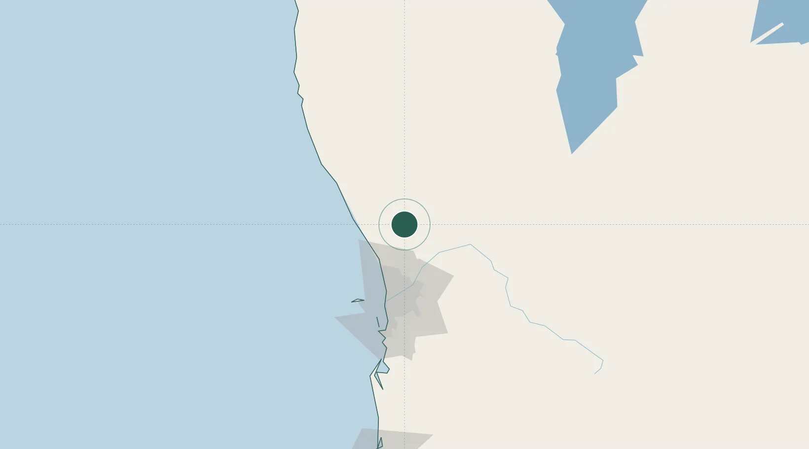
Hub Profile
Place type
Populated place
Region
Western Australia
Population
806
Time zone
Australia/Perth
Elevation
96 m
Location
Nearby Logistics Neighbours
Cities
- 1Chittering24 km
- 2Muchea27 km
- 3Bullsbrook37 km
- 4Wangara49 km
- 5Padbury52 km
Airports
- 1RAAF Base Pearce37 km
- 2Perth International Airport66 km
- 3Perth Jandakot Airport83 km
- 4Karara Airport249 km
- 5Busselton Margaret River Regional Airport264 km
Trade Zones
- 1KEK Mandalika2497 km
- 2Oecusse Ambeno Enclave Special Zone For Social Market Economy (Zeesm)2598 km
- 3KEK Singhasari2631 km
- 4Pasuruan Industrial Estate Rembang2660 km
- 5Ngoro Industrial Park2667 km
DatabookThe Record of Consolidated Knowledge
Australia beyond logistics?