Small airport · Australia
Kalbarri AirportYKBR
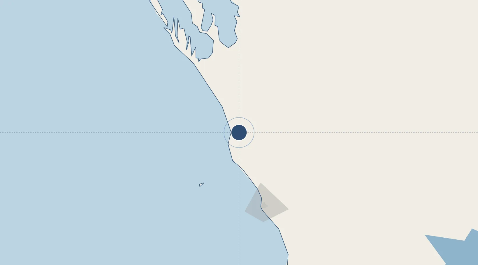
-27.6928°, 114.2592°
5,246 ft
Longest runway
1
Runways
157 ft
Elevation
Runway & Layout

Runways · 1
| Runway | Dimensions | Surface | True heading | Lit |
|---|---|---|---|---|
| 18/36 | 5,246 × 60ft | Asphalt | 181° | — |
Airport Specifications
IATA code
KAX
ICAO code
YKBR
Airport class
Small airport
Scheduled service
Yes
Runway surface
Asphalt
Served city
Kalbarri
Location
Nearby Logistics Neighbours
Airports
- 1Geraldton Airport130 km
- 2Shark Bay Airport211 km
- 3Karara Airport292 km
- 4Carnarvon Airport318 km
- 5Mount Magnet Airport355 km
Cities
- 1Webberton123 km
- 2Pindar172 km
- 3Port Denison187 km
- 4Melville249 km
- 5Mount Magnet354 km
Ports
- 1Geraldton126 km
- 2Useless Loop198 km
- 3Cape Cuvier396 km
- 4Fremantle505 km
- 5Bunbury639 km
Trade Zones
- 1KEK Mandalika2101 km
- 2KEK Singhasari2209 km
- 3Pasuruan Industrial Estate Rembang2239 km
- 4Ngoro Industrial Park2245 km
- 5Safe N Lock Industrial Estate2255 km
DatabookThe Record of Consolidated Knowledge
Australia beyond logistics?