Medium airport · Australia
Carnarvon AirportYCAR
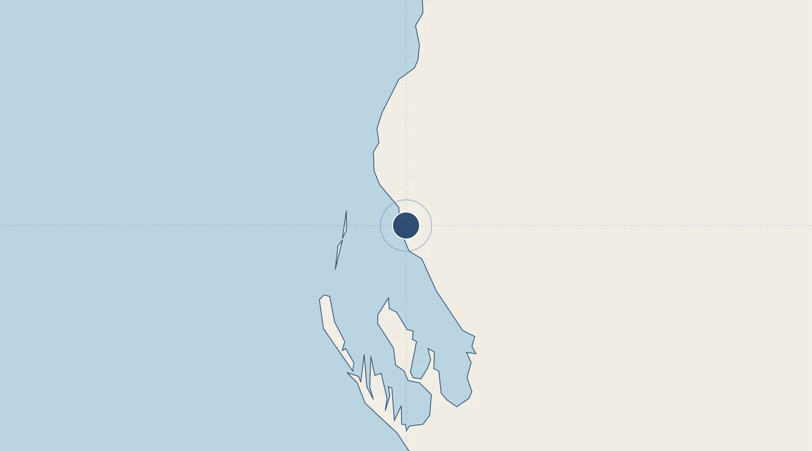
-24.8843°, 113.6664°
5,509 ft
Longest runway
2
Runways
13 ft
Elevation
Runway & Layout

Radio Frequencies
CTAF
126.7 MHz
FSS
122.1 MHz
MELBOURNE CNTR
Navaids
CAR VOR-DME Carnarvon 113.00 MHz
CAR NDB Carnarvon 323 kHz
Runways · 2
| Runway | Dimensions | Surface | True heading | Lit |
|---|---|---|---|---|
| 04/22 | 5,509 × 98ft | Asphalt | 043° | ✓ |
| 18/36 | 3,740 × 98ft | Asphalt | 180° | — |
Airport Specifications
IATA code
CVQ
ICAO code
YCAR
Airport class
Medium airport
Scheduled service
Yes
Runway surface
Asphalt
Served city
Carnarvon
Location
Nearby Logistics Neighbours
Airports
- 1Shark Bay Airport113 km
- 2Learmonth Airport298 km
- 3Kalbarri Airport318 km
- 4Eliwana427 km
- 5Geraldton Airport447 km
Cities
- 1Coral Bay195 km
- 2Nganhurra380 km
- 3Ashburton381 km
- 4Onslow388 km
- 5Ningaloo Vision390 km
Ports
- 1Cape Cuvier80 km
- 2Useless Loop136 km
- 3Onslow388 km
- 4Geraldton443 km
- 5Dampier567 km
Trade Zones
- 1KEK Mandalika1800 km
- 2KEK Singhasari1894 km
- 3Pasuruan Industrial Estate Rembang1923 km
- 4Ngoro Industrial Park1929 km
- 5Safe N Lock Industrial Estate1940 km
DatabookThe Record of Consolidated Knowledge
Australia beyond logistics?