UN/LOCODE hub · Australia
AUNAB

Naval Base

-32.1833°, 115.7667°
22
Population
1
Transport functions

Transport Functions

Multimodal
UN/LOCODE

Hub Profile

Place type
Urban district
GeoNames
Region
Western Australia
GeoNames
Population
22
GeoNames
Time zone
Australia/Perth
GeoNames
Elevation
13 m
GeoNames

Location

Location of AUNAB
Natural Earth 10m (public domain) · Western Australia · AUNAB · -32.18, 115.77GoogleOSMYandex

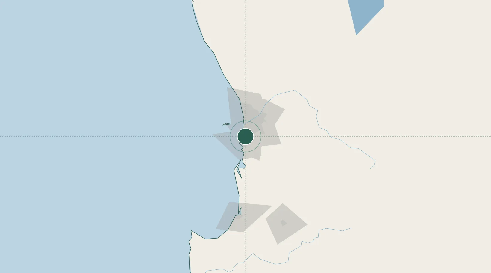
Nearby Logistics Neighbours

Cities
  1. 1Kwinana3 km
  2. 2Mandogalup4 km
  3. 3Henderson4 km
  4. 4Hamilton Hill13 km
  5. 5Bibra Lake14 km
Nearest neighbours — logibook spatial index (haversine) over the source coordinates
Ports
  1. 1Fremantle15 km
  2. 2Bunbury127 km
  3. 3Albany373 km
  4. 4Geraldton394 km
  5. 5Esperance602 km
Nearest neighbours — logibook spatial index (haversine) over the source coordinates
Airports
  1. 1Perth Jandakot Airport14 km
  2. 2Perth International Airport33 km
  3. 3RAAF Base Pearce62 km
  4. 4Busselton Margaret River Regional Airport171 km
  5. 5Karara Airport341 km
Nearest neighbours — logibook spatial index (haversine) over the source coordinates
Trade Zones
  1. 1KEK Mandalika2590 km
  2. 2Oecusse Ambeno Enclave Special Zone For Social Market Economy (Zeesm)2688 km
  3. 3KEK Singhasari2721 km
  4. 4Pasuruan Industrial Estate Rembang2750 km
  5. 5Ngoro Industrial Park2757 km
Nearest neighbours — logibook spatial index (haversine) over the source coordinates
DatabookThe Record of Consolidated Knowledge
Australia beyond logistics?
Browse databook

All Sources

LocationsUN/LOCODE
UN/LOCODE — free
LocationsGeoNames
CC BY 4.0
Portsthe NGA World Port Index
Public domain (US gov)
AirportsOurAirports
Public domain
Trade Zonesthe World Bank SEZ database
CC BY 4.0
Trade ZonesOpen Zone Map
CC BY
← Australia locations