UN/LOCODE hub · Australia
AUBLA

Bibra Lake

-32.0667°, 115.8167°
5,744
Population
3
Transport functions

Transport Functions

Rail
Road
Multimodal
UN/LOCODE

Hub Profile

Place type
Urban district
GeoNames
Region
Western Australia
GeoNames
Population
5,744
GeoNames
Time zone
Australia/Perth
GeoNames
Elevation
22 m
GeoNames

Location

Location of AUBLA
Natural Earth 10m (public domain) · Western Australia · AUBLA · -32.07, 115.82GoogleOSMYandex

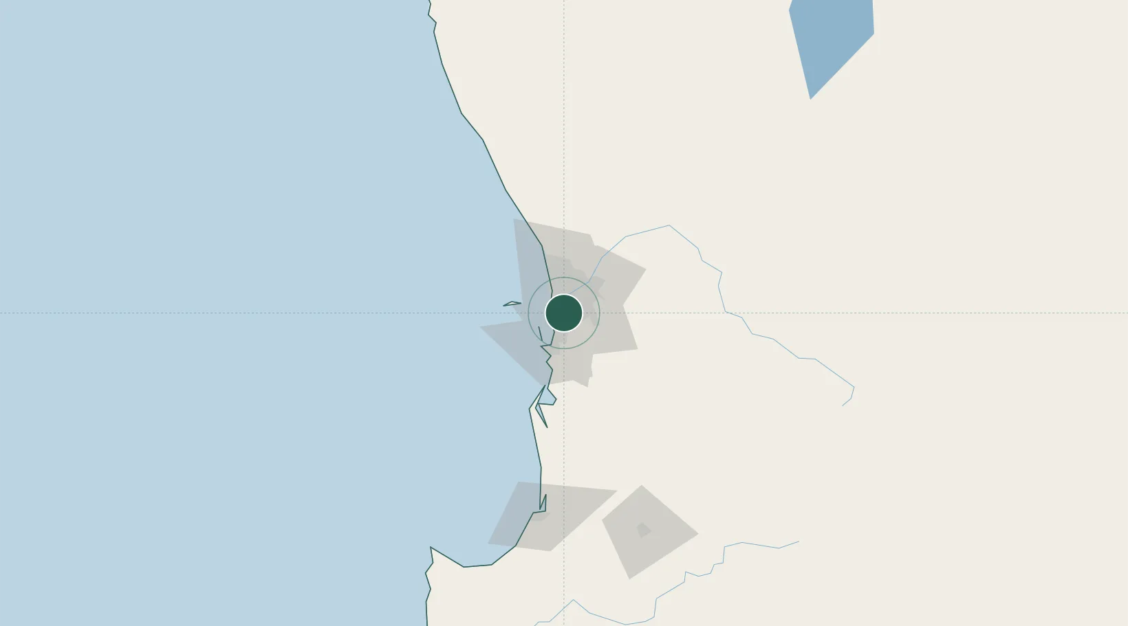
Nearby Logistics Neighbours

Cities
  1. 1Willagee2 km
  2. 2Fremantle4 km
  3. 3Hamilton Hill5 km
  4. 4Applecross6 km
  5. 5Attadale6 km
Nearest neighbours — logibook spatial index (haversine) over the source coordinates
Ports
  1. 1Fremantle7 km
  2. 2Bunbury140 km
  3. 3Albany381 km
  4. 4Geraldton383 km
  5. 5Esperance602 km
Nearest neighbours — logibook spatial index (haversine) over the source coordinates
Airports
  1. 1Perth Jandakot Airport7 km
  2. 2Perth International Airport20 km
  3. 3RAAF Base Pearce48 km
  4. 4Busselton Margaret River Regional Airport184 km
  5. 5Karara Airport328 km
Nearest neighbours — logibook spatial index (haversine) over the source coordinates
Trade Zones
  1. 1KEK Mandalika2577 km
  2. 2Oecusse Ambeno Enclave Special Zone For Social Market Economy (Zeesm)2675 km
  3. 3KEK Singhasari2709 km
  4. 4Pasuruan Industrial Estate Rembang2738 km
  5. 5Ngoro Industrial Park2745 km
Nearest neighbours — logibook spatial index (haversine) over the source coordinates
DatabookThe Record of Consolidated Knowledge
Australia beyond logistics?
Browse databook

All Sources

LocationsUN/LOCODE
UN/LOCODE — free
LocationsGeoNames
CC BY 4.0
Portsthe NGA World Port Index
Public domain (US gov)
AirportsOurAirports
Public domain
Trade Zonesthe World Bank SEZ database
CC BY 4.0
Trade ZonesOpen Zone Map
CC BY
← Australia locations