UN/LOCODE hub · Australia
AUHFR

Henderson

-32.1486°, 115.7739°
15
Population
2
Transport functions

Transport Functions

Port
Postal
UN/LOCODE

Hub Profile

Place type
Urban district
GeoNames
Region
Western Australia
GeoNames
Population
15
GeoNames
Time zone
Australia/Perth
GeoNames
Elevation
11 m
GeoNames
Logistics facilities
1
UN/LOCODE

Location

Location of AUHFR
Natural Earth 10m (public domain) · Western Australia · AUHFR · -32.15, 115.77GoogleOSMYandex

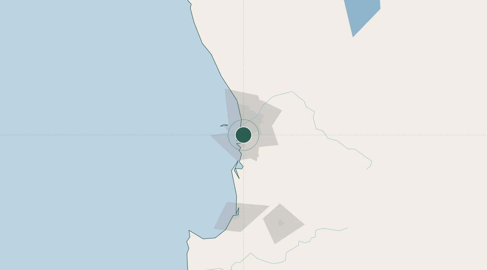
Nearby Logistics Neighbours

Cities
  1. 1Naval Base4 km
  2. 2Kwinana4 km
  3. 3Mandogalup6 km
  4. 4Hamilton Hill9 km
  5. 5Bibra Lake10 km
Nearest neighbours — logibook spatial index (haversine) over the source coordinates
Ports
  1. 1Fremantle11 km
  2. 2Bunbury131 km
  3. 3Albany376 km
  4. 4Geraldton391 km
  5. 5Esperance602 km
Nearest neighbours — logibook spatial index (haversine) over the source coordinates
Airports
  1. 1Perth Jandakot Airport12 km
  2. 2Perth International Airport30 km
  3. 3RAAF Base Pearce58 km
  4. 4Busselton Margaret River Regional Airport175 km
  5. 5Karara Airport338 km
Nearest neighbours — logibook spatial index (haversine) over the source coordinates
Trade Zones
  1. 1KEK Mandalika2586 km
  2. 2Oecusse Ambeno Enclave Special Zone For Social Market Economy (Zeesm)2685 km
  3. 3KEK Singhasari2718 km
  4. 4Pasuruan Industrial Estate Rembang2746 km
  5. 5Ngoro Industrial Park2753 km
Nearest neighbours — logibook spatial index (haversine) over the source coordinates
DatabookThe Record of Consolidated Knowledge
Australia beyond logistics?
Browse databook

All Sources

LocationsUN/LOCODE
UN/LOCODE — free
LocationsGeoNames
CC BY 4.0
Portsthe NGA World Port Index
Public domain (US gov)
AirportsOurAirports
Public domain
Trade Zonesthe World Bank SEZ database
CC BY 4.0
Trade ZonesOpen Zone Map
CC BY
← Australia locations