UN/LOCODE hub · Australia
AUAUA

Armadale

-32.1500°, 116.0000°
13,415
Population
1
Transport functions

Transport Functions

Port
UN/LOCODE

Hub Profile

Place type
Urban district
GeoNames
Region
Western Australia
GeoNames
Population
13,415
GeoNames
Time zone
Australia/Perth
GeoNames
Elevation
54 m
GeoNames

Location

Location of AUAUA
Natural Earth 10m (public domain) · Western Australia · AUAUA · -32.15, 116.00GoogleOSMYandex

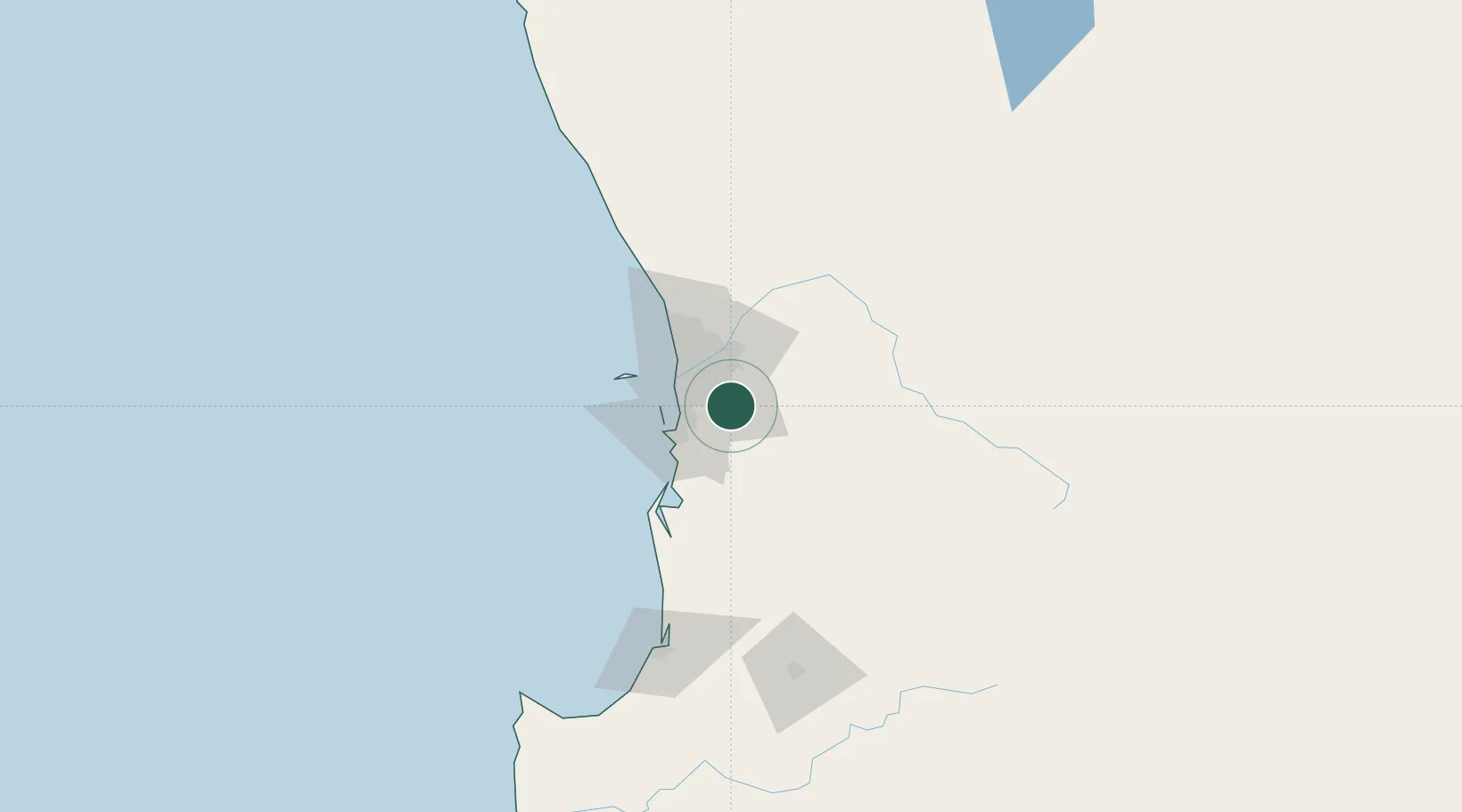
Nearby Logistics Neighbours

Cities
  1. 1Kelmscot4 km
  2. 2Oakford10 km
  3. 3Wilson18 km
  4. 4Forrestfield19 km
  5. 5Kewdale19 km
Nearest neighbours — logibook spatial index (haversine) over the source coordinates
Ports
  1. 1Fremantle26 km
  2. 2Bunbury134 km
  3. 3Albany365 km
  4. 4Geraldton398 km
  5. 5Esperance582 km
Nearest neighbours — logibook spatial index (haversine) over the source coordinates
Airports
  1. 1Perth Jandakot Airport13 km
  2. 2Perth International Airport24 km
  3. 3RAAF Base Pearce54 km
  4. 4Busselton Margaret River Regional Airport180 km
  5. 5Karara Airport333 km
Nearest neighbours — logibook spatial index (haversine) over the source coordinates
Trade Zones
  1. 1KEK Mandalika2586 km
  2. 2Oecusse Ambeno Enclave Special Zone For Social Market Economy (Zeesm)2677 km
  3. 3KEK Singhasari2721 km
  4. 4Pasuruan Industrial Estate Rembang2749 km
  5. 5Ngoro Industrial Park2756 km
Nearest neighbours — logibook spatial index (haversine) over the source coordinates
DatabookThe Record of Consolidated Knowledge
Australia beyond logistics?
Browse databook

All Sources

LocationsUN/LOCODE
UN/LOCODE — free
LocationsGeoNames
CC BY 4.0
Portsthe NGA World Port Index
Public domain (US gov)
AirportsOurAirports
Public domain
Trade Zonesthe World Bank SEZ database
CC BY 4.0
Trade ZonesOpen Zone Map
CC BY
← Australia locations