UN/LOCODE hub · Australia
AUWAW

Wilson

-32.0167°, 115.9000°
6,288
Population
1
Transport functions

Transport Functions

Multimodal
UN/LOCODE

Hub Profile

Place type
Urban district
GeoNames
Region
Western Australia
GeoNames
Population
6,288
GeoNames
Time zone
Australia/Perth
GeoNames
Elevation
4 m
GeoNames

Location

Location of AUWAW
Natural Earth 10m (public domain) · Western Australia · AUWAW · -32.02, 115.90GoogleOSMYandex

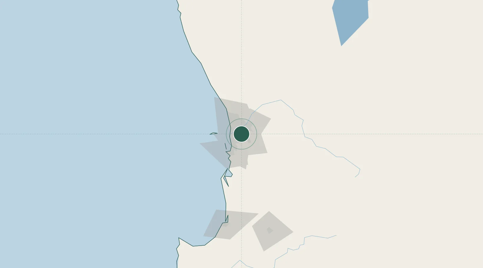
Nearby Logistics Neighbours

Cities
  1. 1Welshpool5 km
  2. 2Applecross6 km
  3. 3Kewdale7 km
  4. 4Fremantle8 km
  5. 5Ascot9 km
Nearest neighbours — logibook spatial index (haversine) over the source coordinates
Ports
  1. 1Fremantle15 km
  2. 2Bunbury147 km
  3. 3Geraldton381 km
  4. 4Albany383 km
  5. 5Esperance596 km
Nearest neighbours — logibook spatial index (haversine) over the source coordinates
Airports
  1. 1Perth Jandakot Airport9 km
  2. 2Perth International Airport11 km
  3. 3RAAF Base Pearce40 km
  4. 4Busselton Margaret River Regional Airport192 km
  5. 5Karara Airport320 km
Nearest neighbours — logibook spatial index (haversine) over the source coordinates
Trade Zones
  1. 1KEK Mandalika2571 km
  2. 2Oecusse Ambeno Enclave Special Zone For Social Market Economy (Zeesm)2667 km
  3. 3KEK Singhasari2705 km
  4. 4Pasuruan Industrial Estate Rembang2733 km
  5. 5Ngoro Industrial Park2740 km
Nearest neighbours — logibook spatial index (haversine) over the source coordinates
DatabookThe Record of Consolidated Knowledge
Australia beyond logistics?
Browse databook

All Sources

LocationsUN/LOCODE
UN/LOCODE — free
LocationsGeoNames
CC BY 4.0
Portsthe NGA World Port Index
Public domain (US gov)
AirportsOurAirports
Public domain
Trade Zonesthe World Bank SEZ database
CC BY 4.0
Trade ZonesOpen Zone Map
CC BY
← Australia locations