UN/LOCODE hub · Australia
AUCAR
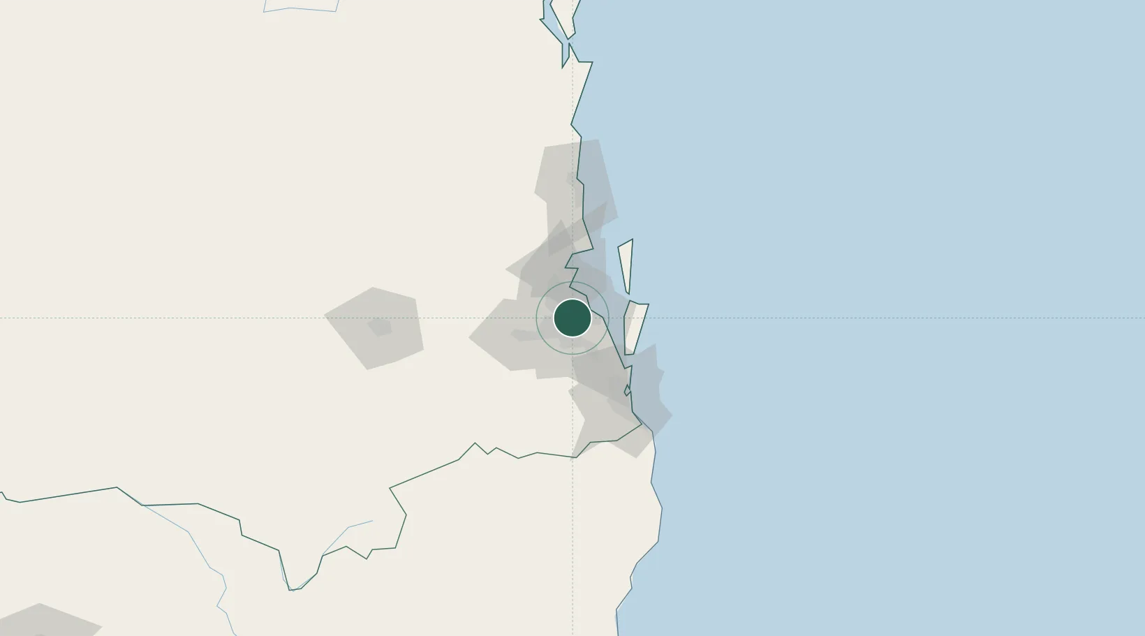
Carina Heights
-27.5000°, 153.0833°
6,725
Population
1
Transport functions
Transport Functions
Port
Hub Profile
Place type
Urban district
Region
Queensland
Population
6,725
Time zone
Australia/Brisbane
Elevation
52 m
Location
Nearby Logistics Neighbours
Cities
- 1Coorparoo3 km
- 2Cannon Hill4 km
- 3Mount Gravatt4 km
- 4Murarrie4 km
- 5Hemmant7 km
Airports
- 1Brisbane International Airport13 km
- 2RAAF Base Amberley40 km
- 3Gold Coast Airport85 km
- 4Sunshine Coast Airport101 km
- 5Toowoomba Wellcamp Airport127 km
Trade Zones
DatabookThe Record of Consolidated Knowledge
Australia beyond logistics?