Transport Functions
Multimodal
Hub Profile
Place type
District seat
Region
Lower Austria
Population
488
Time zone
Europe/Vienna
Elevation
680 m
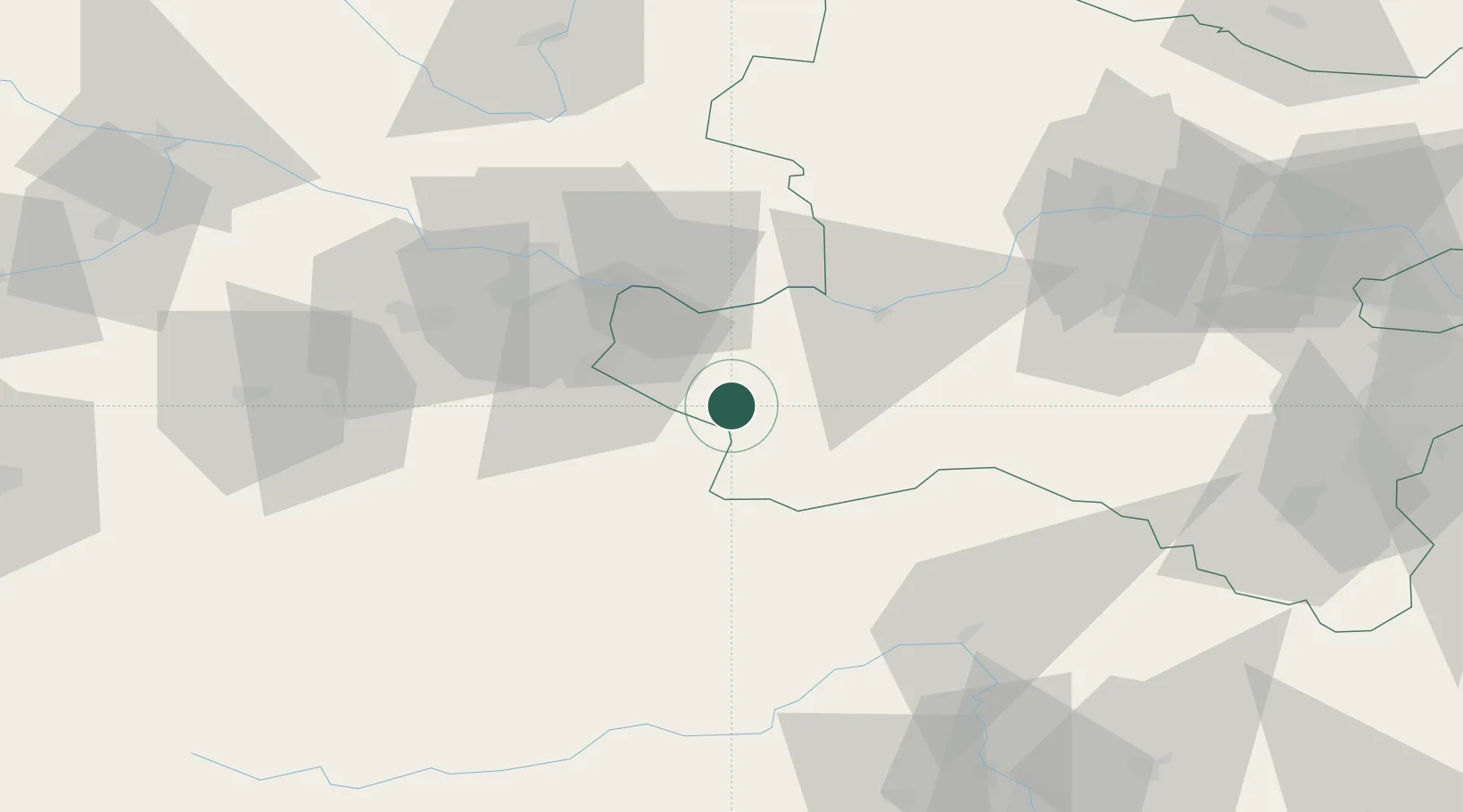
Location
Nearby Logistics Neighbours
Cities
- 1Böhlerwenk2 km
- 2Hilm6 km
- 3Allhartsberg6 km
- 4Aschbach Markt11 km
- 5Seitenstetten Markt11 km
Ports
- 1Monfalcone259 km
- 2Trieste269 km
- 3Nogaro273 km
- 4Muggia274 km
- 5Grado276 km
Airports
Trade Zones
- 1Freeport of Deggendorf168 km
- 2Černovická Terasa Industrial Zone195 km
- 3Světlá nad Sázavou Municipal Industrial Zone195 km
- 4Krapina-Zagorje Free Zone219 km
- 5Sjever Free Zone222 km
DatabookThe Record of Consolidated Knowledge
Austria beyond logistics?