UN/LOCODE hub · Austria
ATBOE

Böhlerwenk

47.9833°, 14.7500°
3
Transport functions

Transport Functions

Port
Rail
Road
UN/LOCODE

Hub Profile

Region
3
GeoNames

Location

Location of ATBOE
Natural Earth 10m (public domain) · 3 · ATBOE · 47.98, 14.75GoogleOSMYandex

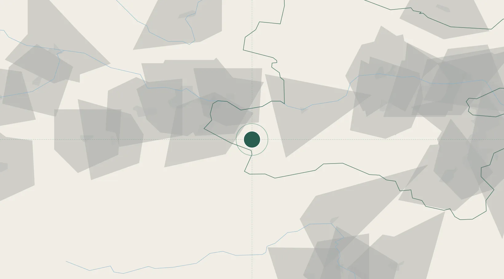
Nearby Logistics Neighbours

Cities
  1. 1Sonntagberg2 km
  2. 2Hilm4 km
  3. 3Allhartsberg5 km
  4. 4Aschbach Markt9 km
  5. 5Seitenstetten Markt10 km
Nearest neighbours — logibook spatial index (haversine) over the source coordinates
Ports
  1. 1Monfalcone261 km
  2. 2Trieste270 km
  3. 3Nogaro275 km
  4. 4Muggia275 km
  5. 5Grado277 km
Nearest neighbours — logibook spatial index (haversine) over the source coordinates
Airports
  1. 1Linz-Hörsching Airport50 km
  2. 2Hinterstoisser Air Base87 km
  3. 3České Budějovice South Bohemian Airport110 km
  4. 4Wiener Neustadt West Airport111 km
  5. 5Wiener Neustadt East Airport114 km
Nearest neighbours — logibook spatial index (haversine) over the source coordinates
Trade Zones
  1. 1Freeport of Deggendorf167 km
  2. 2Světlá nad Sázavou Municipal Industrial Zone194 km
  3. 3Černovická Terasa Industrial Zone194 km
  4. 4Industrial Zone Kutna Hora221 km
  5. 5Krapina-Zagorje Free Zone221 km
Nearest neighbours — logibook spatial index (haversine) over the source coordinates
DatabookThe Record of Consolidated Knowledge
Austria beyond logistics?
Browse databook

All Sources

LocationsUN/LOCODE
UN/LOCODE — free
Portsthe NGA World Port Index
Public domain (US gov)
AirportsOurAirports
Public domain
Trade Zonesthe World Bank SEZ database
CC BY 4.0
Trade ZonesOpen Zone Map
CC BY
← Austria locations