Transport Functions
Rail
Road
Hub Profile
Place type
District seat
Region
Styria
Population
1,426
Time zone
Europe/Vienna
Elevation
278 m
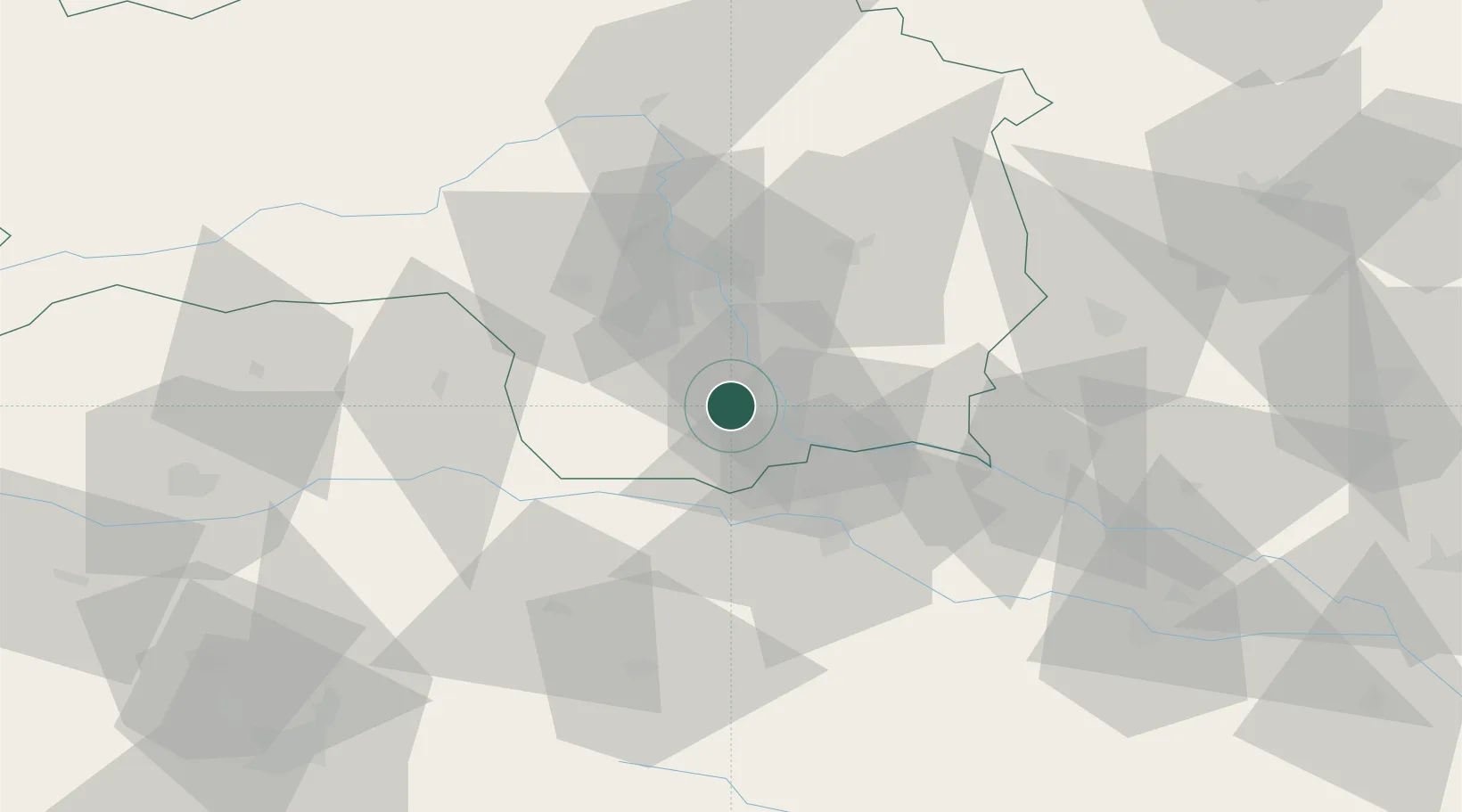
Location
Nearby Logistics Neighbours
Cities
- 1Lebring8 km
- 2Wagna8 km
- 3Pistorf9 km
- 4Weitendorf9 km
- 5Gleinstätten9 km
Ports
- 1Rijeka Luka182 km
- 2Bakar182 km
- 3Trieste184 km
- 4Monfalcone186 km
- 5Muggia187 km
Airports
- 1Graz Airport21 km
- 2Maribor Edvard Rusjan Airport39 km
- 3Hinterstoisser Air Base71 km
- 4Klagenfurt Airport88 km
- 5Cerklje ob Krki Air Base100 km
Trade Zones
- 1Krapina-Zagorje Free Zone79 km
- 2Sjever Free Zone88 km
- 3PJ Free Zone Zagreb116 km
- 4Free Zone Kukuljanovo179 km
- 5Free Port of Trieste184 km
DatabookThe Record of Consolidated Knowledge
Austria beyond logistics?