Transport Functions
Multimodal
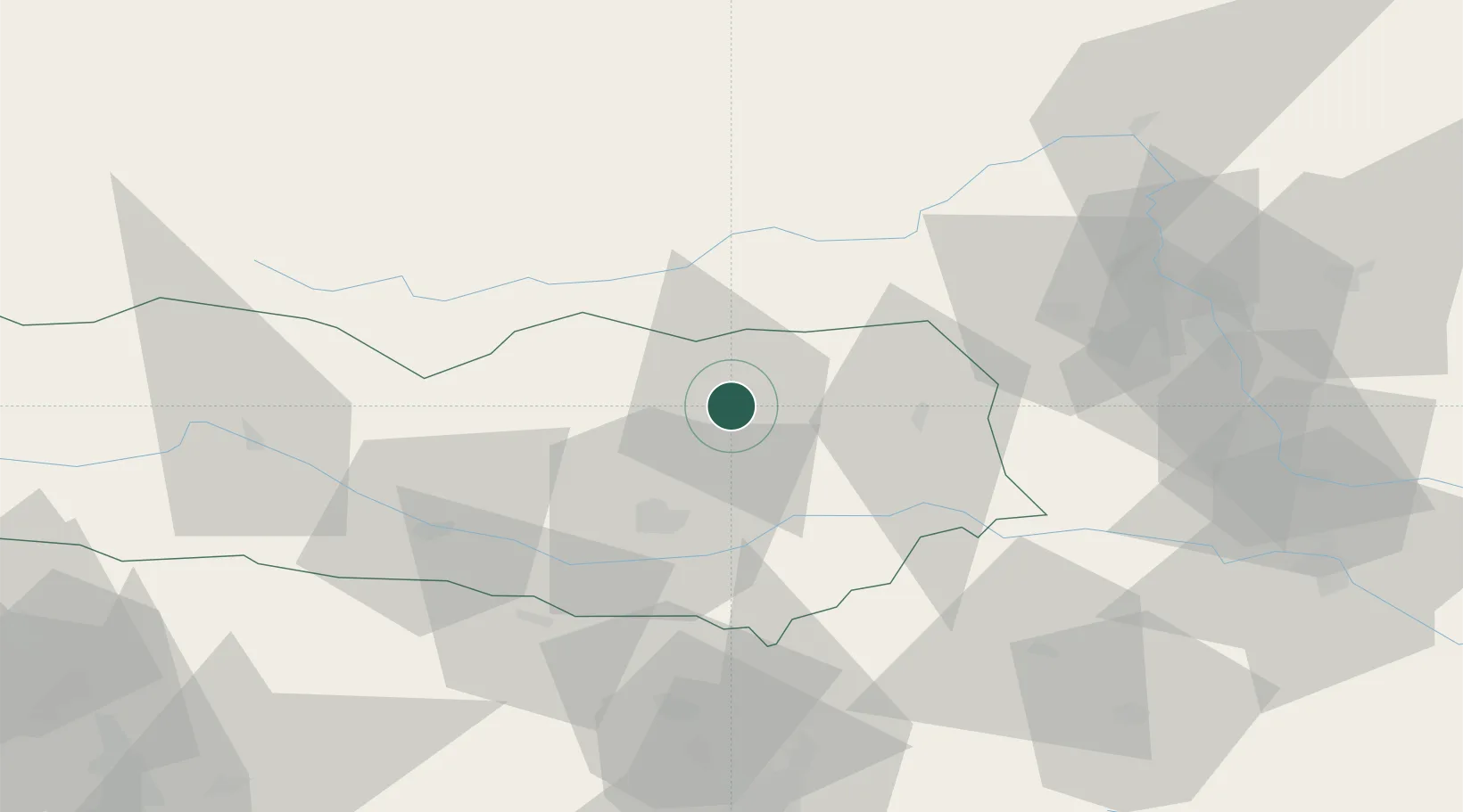
Hub Profile
Region
2
Location
Nearby Logistics Neighbours
Cities
- 1Althofen1 km
- 2Meiselding6 km
- 3Pischeldorf20 km
- 4Mnichovice23 km
- 5Bad Sankt Leonhard im Lavanttal26 km
Ports
- 1Monfalcone140 km
- 2Trieste146 km
- 3Muggia151 km
- 4Koper157 km
- 5Grado158 km
Airports
- 1Klagenfurt Airport27 km
- 2Hinterstoisser Air Base43 km
- 3Ljubljana Jože Pučnik Airport72 km
- 4Graz Airport75 km
- 5Maribor Edvard Rusjan Airport103 km
Trade Zones
- 1Krapina-Zagorje Free Zone134 km
- 2Free Port of Trieste146 km
- 3Sjever Free Zone157 km
- 4PJ Free Zone Zagreb161 km
- 5Free Zone Kukuljanovo170 km
DatabookThe Record of Consolidated Knowledge
Austria beyond logistics?