Transport Functions
Road
Multimodal
Hub Profile
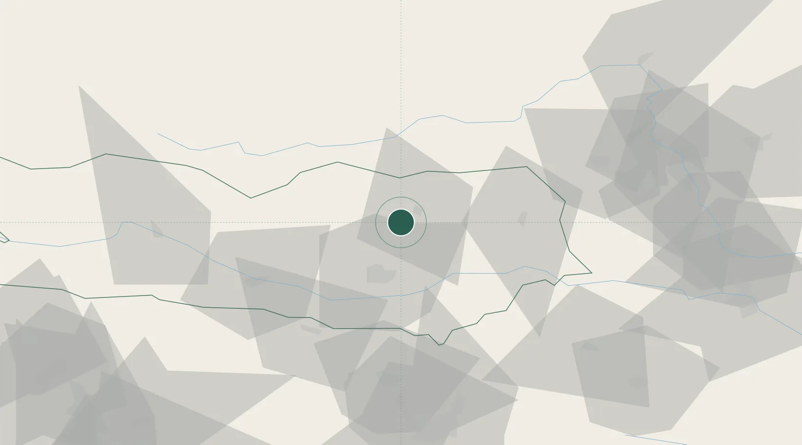
Place type
Populated place
Region
Carinthia
Population
339
Time zone
Europe/Vienna
Elevation
646 m
Location
Nearby Logistics Neighbours
Cities
- 1Treibach Althofen6 km
- 2Althofen7 km
- 3Pischeldorf17 km
- 4Sankt Margrethen22 km
- 5Klagenfurt25 km
Ports
- 1Monfalcone134 km
- 2Trieste141 km
- 3Muggia146 km
- 4Koper152 km
- 5Grado152 km
Airports
- 1Klagenfurt Airport22 km
- 2Hinterstoisser Air Base49 km
- 3Ljubljana Jože Pučnik Airport68 km
- 4Graz Airport81 km
- 5Maribor Edvard Rusjan Airport106 km
Trade Zones
- 1Krapina-Zagorje Free Zone136 km
- 2Free Port of Trieste141 km
- 3Sjever Free Zone160 km
- 4PJ Free Zone Zagreb162 km
- 5Free Zone Kukuljanovo167 km
DatabookThe Record of Consolidated Knowledge
Austria beyond logistics?