Transport Functions
Multimodal
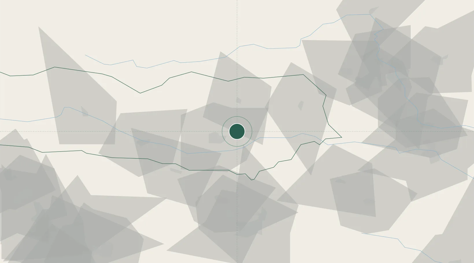
Hub Profile
Place type
Populated place
Region
Carinthia
Population
506
Time zone
Europe/Vienna
Elevation
445 m
Location
Nearby Logistics Neighbours
Cities
- 1Sankt Margrethen8 km
- 2Sankt Kanzian am Klopeiner See13 km
- 3Klagenfurt14 km
- 4Kühnsdorf16 km
- 5Meiselding17 km
Ports
- 1Monfalcone122 km
- 2Trieste127 km
- 3Muggia132 km
- 4Koper138 km
- 5Grado141 km
Airports
- 1Klagenfurt Airport10 km
- 2Ljubljana Jože Pučnik Airport51 km
- 3Hinterstoisser Air Base62 km
- 4Graz Airport83 km
- 5Maribor Edvard Rusjan Airport97 km
Trade Zones
- 1Krapina-Zagorje Free Zone124 km
- 2Free Port of Trieste127 km
- 3PJ Free Zone Zagreb147 km
- 4Free Zone Kukuljanovo150 km
- 5Sjever Free Zone151 km
DatabookThe Record of Consolidated Knowledge
Austria beyond logistics?