Transport Functions
Port
Road
Hub Profile
Place type
Urban district
Region
Upper Austria
Population
180
Time zone
Europe/Vienna
Elevation
1,061 m
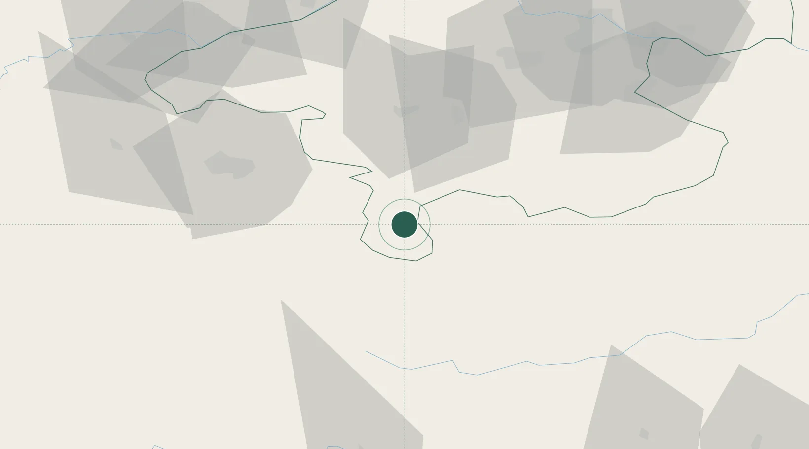
Location
Nearby Logistics Neighbours
Cities
- 1Altaussee11 km
- 2Hopfgarten17 km
- 3Mandling23 km
- 4Forstau27 km
- 5Radstadt28 km
Ports
- 1Monfalcone202 km
- 2Nogaro208 km
- 3Grado213 km
- 4Trieste217 km
- 5Muggia223 km
Airports
- 1Salzburg Airport52 km
- 2Linz-Hörsching Airport82 km
- 3Hinterstoisser Air Base95 km
- 4Klagenfurt Airport119 km
- 5Graz Airport152 km
Trade Zones
- 1Freeport of Deggendorf149 km
- 2Free Port of Trieste217 km
- 3Krapina-Zagorje Free Zone235 km
- 4Sjever Free Zone252 km
- 5Free Zone Kukuljanovo261 km
DatabookThe Record of Consolidated Knowledge
Austria beyond logistics?