Transport Functions
Multimodal
Hub Profile
Place type
District seat
Region
Styria
Population
309
Time zone
Europe/Vienna
Elevation
723 m
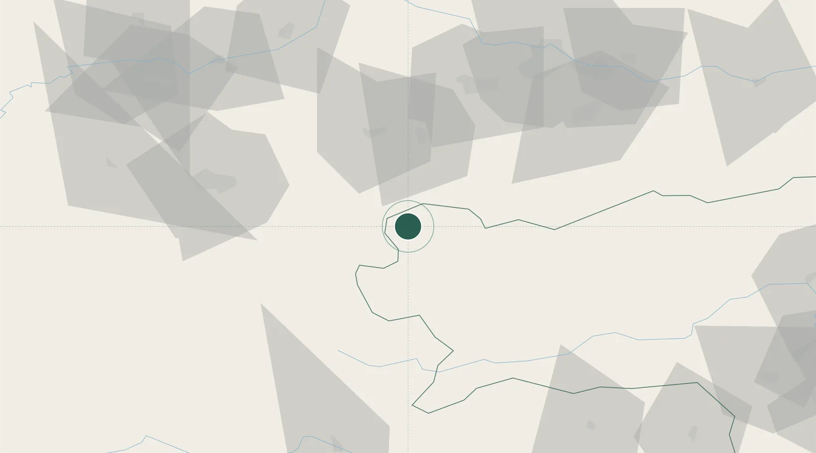
Location
Nearby Logistics Neighbours
Cities
- 1Hopfgarten6 km
- 2Steeg11 km
- 3Mandling30 km
- 4Gmunden32 km
- 5Scharnstein33 km
Ports
- 1Monfalcone206 km
- 2Nogaro213 km
- 3Grado218 km
- 4Trieste220 km
- 5Muggia226 km
Airports
- 1Salzburg Airport60 km
- 2Linz-Hörsching Airport74 km
- 3Hinterstoisser Air Base88 km
- 4Klagenfurt Airport118 km
- 5Graz Airport145 km
Trade Zones
- 1Freeport of Deggendorf149 km
- 2Free Port of Trieste221 km
- 3Krapina-Zagorje Free Zone230 km
- 4Sjever Free Zone246 km
- 5Světlá nad Sázavou Municipal Industrial Zone257 km
DatabookThe Record of Consolidated Knowledge
Austria beyond logistics?