Transport Functions
Multimodal
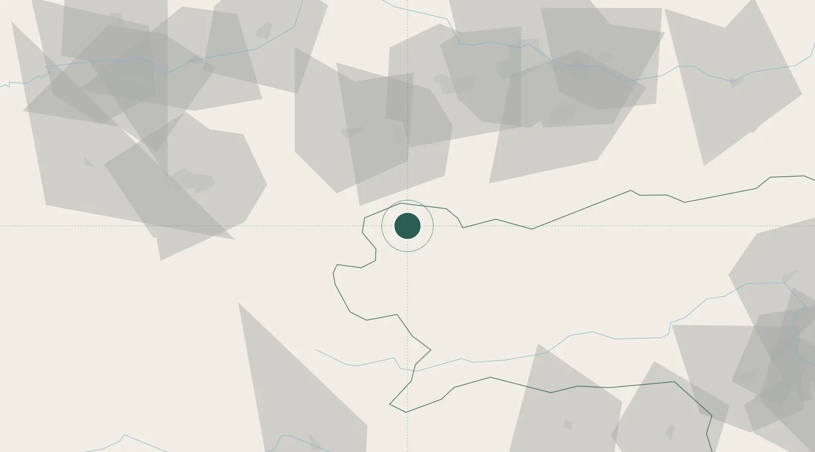
Hub Profile
Place type
Populated place
Region
Styria
Time zone
Europe/Vienna
Elevation
732 m
Location
Nearby Logistics Neighbours
Cities
- 1Altaussee6 km
- 2Steeg17 km
- 3Scharnstein31 km
- 4Gmunden32 km
- 5Micheldorf in Oberösterreich34 km
Ports
- 1Monfalcone207 km
- 2Nogaro215 km
- 3Grado219 km
- 4Trieste221 km
- 5Muggia226 km
Airports
- 1Salzburg Airport66 km
- 2Linz-Hörsching Airport72 km
- 3Hinterstoisser Air Base83 km
- 4Klagenfurt Airport116 km
- 5Graz Airport140 km
Trade Zones
- 1Freeport of Deggendorf152 km
- 2Free Port of Trieste221 km
- 3Krapina-Zagorje Free Zone226 km
- 4Sjever Free Zone241 km
- 5Světlá nad Sázavou Municipal Industrial Zone254 km
DatabookThe Record of Consolidated Knowledge
Austria beyond logistics?