Transport Functions
Multimodal
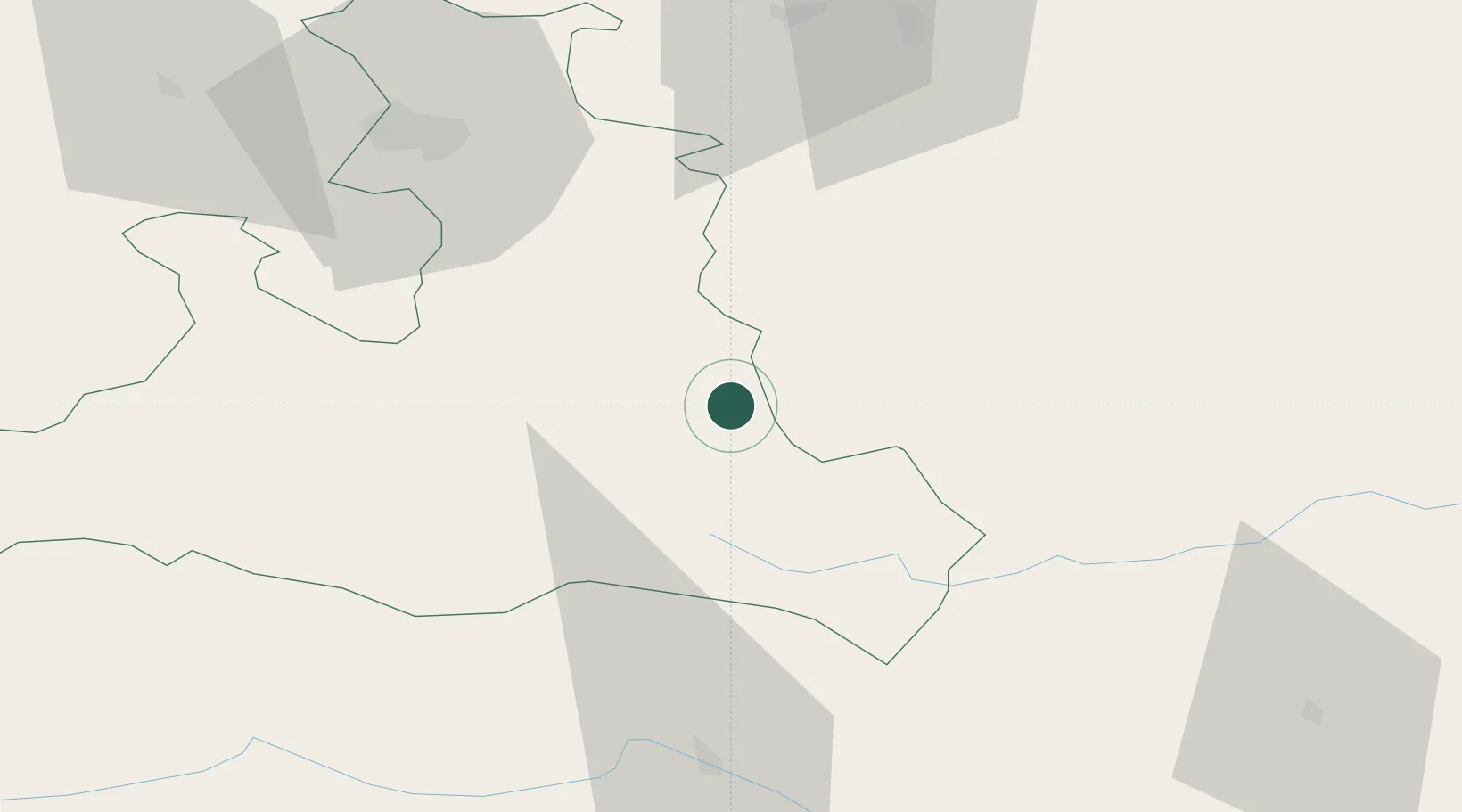
Hub Profile
Place type
District seat
Region
Salzburg
Population
540
Time zone
Europe/Vienna
Elevation
892 m
Location
Nearby Logistics Neighbours
Cities
- 1Mandling5 km
- 2Radstadt7 km
- 3Elsbethen Glasenbach16 km
- 4Bischofshofen25 km
- 5Steeg27 km
Ports
- 1Monfalcone176 km
- 2Nogaro181 km
- 3Grado187 km
- 4Trieste192 km
- 5Muggia197 km
Airports
- 1Salzburg Airport62 km
- 2Hinterstoisser Air Base93 km
- 3Klagenfurt Airport101 km
- 4Linz-Hörsching Airport108 km
- 5Ljubljana Jože Pučnik Airport145 km
Trade Zones
- 1Freeport of Deggendorf171 km
- 2Free Port of Trieste192 km
- 3Krapina-Zagorje Free Zone224 km
- 4Free Port of Venice235 km
- 5Free Zone Kukuljanovo238 km
DatabookThe Record of Consolidated Knowledge
Austria beyond logistics?