Transport Functions
Rail
Road
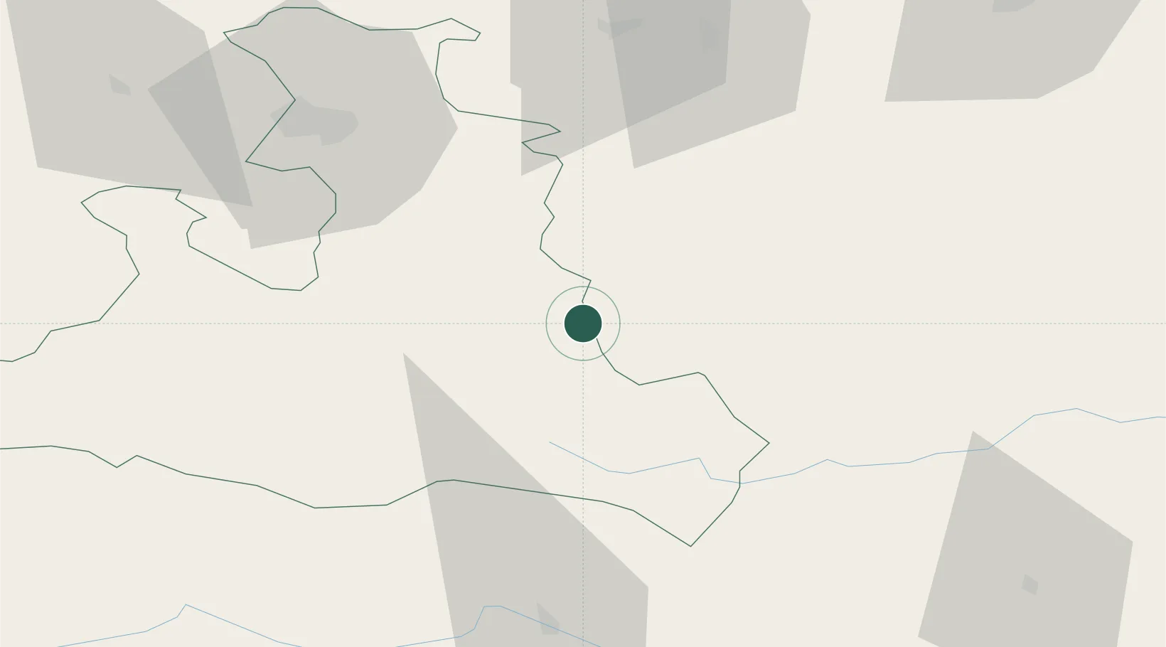
Hub Profile
Place type
Populated place
Region
Salzburg
Population
355
Time zone
Europe/Vienna
Elevation
814 m
Location
Nearby Logistics Neighbours
Cities
- 1Forstau5 km
- 2Radstadt9 km
- 3Elsbethen Glasenbach19 km
- 4Steeg23 km
- 5Bischofshofen26 km
Ports
- 1Monfalcone180 km
- 2Nogaro185 km
- 3Grado191 km
- 4Trieste195 km
- 5Muggia201 km
Airports
- 1Salzburg Airport61 km
- 2Hinterstoisser Air Base92 km
- 3Klagenfurt Airport103 km
- 4Linz-Hörsching Airport104 km
- 5Ljubljana Jože Pučnik Airport147 km
Trade Zones
- 1Freeport of Deggendorf168 km
- 2Free Port of Trieste196 km
- 3Krapina-Zagorje Free Zone224 km
- 4Free Port of Venice239 km
- 5Free Zone Kukuljanovo241 km
DatabookThe Record of Consolidated Knowledge
Austria beyond logistics?