Transport Functions
Port
Rail
Road
Hub Profile
Place type
District seat
Region
Salzburg
Population
2,410
Time zone
Europe/Vienna
Elevation
839 m
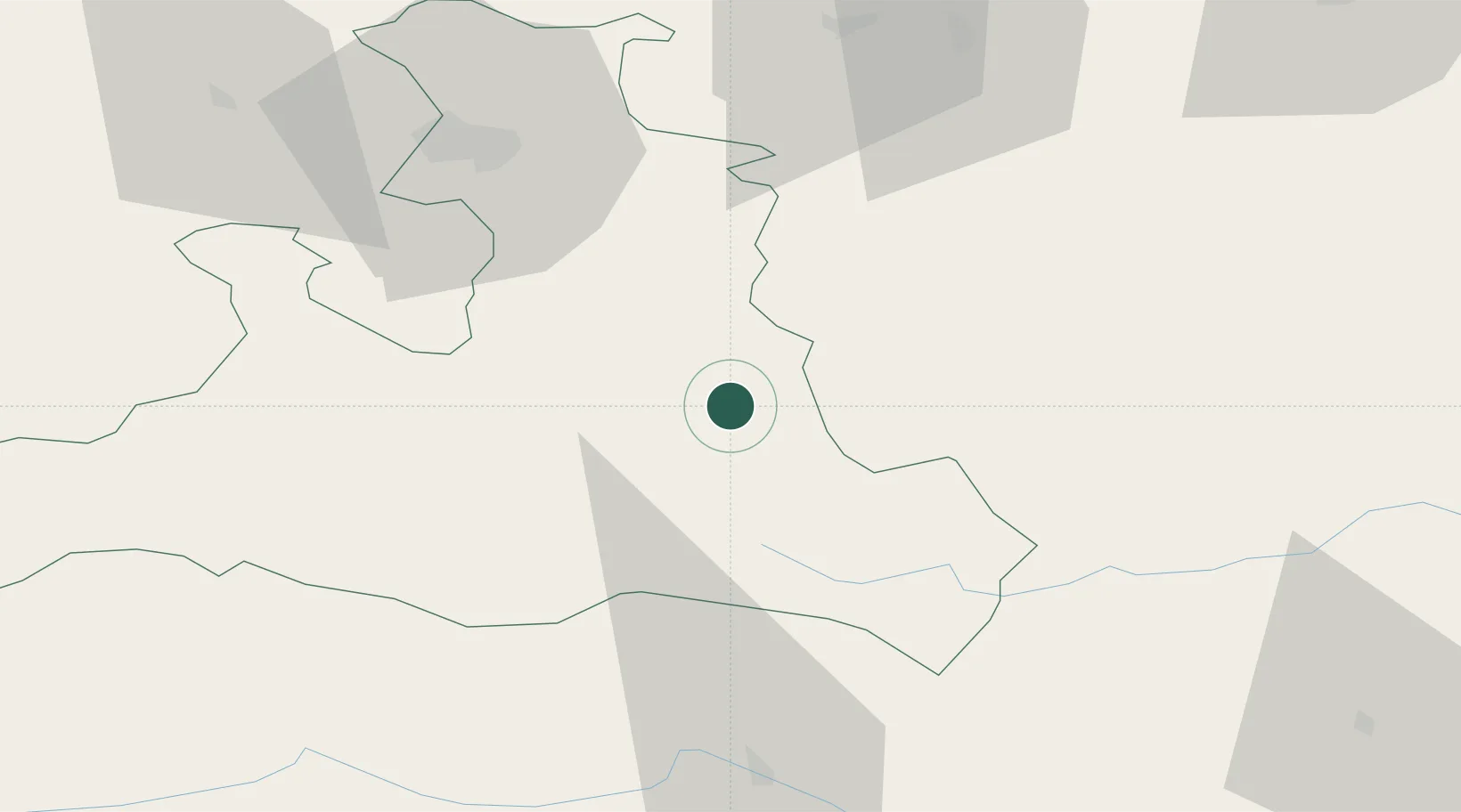
Location
Nearby Logistics Neighbours
Cities
- 1Forstau7 km
- 2Mandling9 km
- 3Elsbethen Glasenbach10 km
- 4Bischofshofen18 km
- 5Schwarzach im Pongau24 km
Ports
- 1Monfalcone178 km
- 2Nogaro182 km
- 3Grado188 km
- 4Trieste194 km
- 5Muggia200 km
Airports
- 1Salzburg Airport57 km
- 2Hinterstoisser Air Base100 km
- 3Klagenfurt Airport106 km
- 4Linz-Hörsching Airport110 km
- 5Ljubljana Jože Pučnik Airport150 km
Trade Zones
- 1Freeport of Deggendorf168 km
- 2Free Port of Trieste195 km
- 3Krapina-Zagorje Free Zone230 km
- 4Free Port of Venice234 km
- 5Free Zone Kukuljanovo242 km
DatabookThe Record of Consolidated Knowledge
Austria beyond logistics?