UN/LOCODE hub · Austria
ATSMR
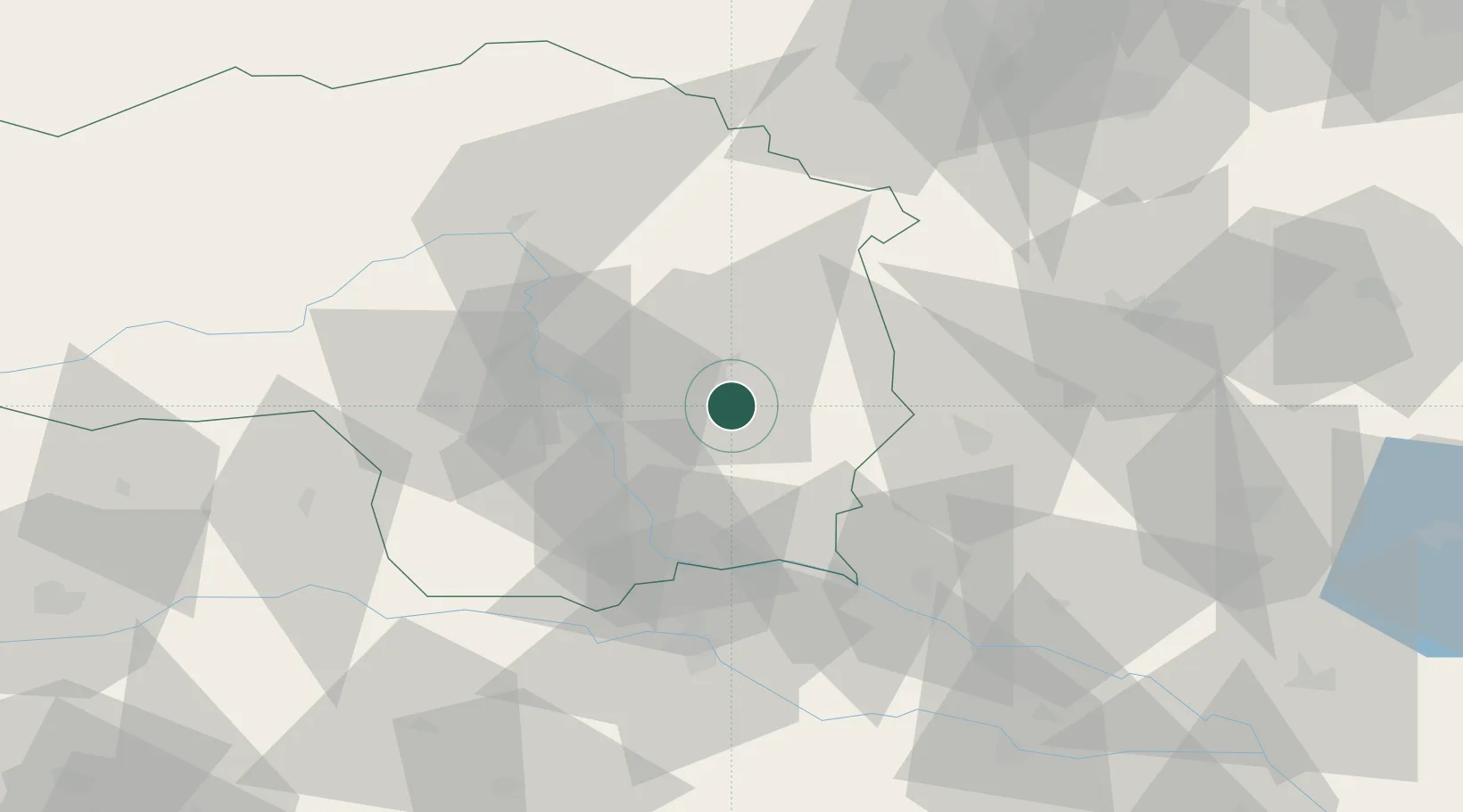
Sankt Margarethen an der Raab
47.0500°, 15.7500°
1,114
Population
2
Transport functions
Transport Functions
Port
Road
Hub Profile
Place type
District seat
Region
Styria
Population
1,114
Time zone
Europe/Vienna
Elevation
323 m
Location
Nearby Logistics Neighbours
Cities
- 1Kirchberg an der Raab8 km
- 2Sankt Ruprecht an der Raab14 km
- 3Feldbach15 km
- 4Vasoldsberg16 km
- 5Preding17 km
Ports
- 1Bakar216 km
- 2Rijeka Luka216 km
- 3Trieste219 km
- 4Monfalcone220 km
- 5Muggia222 km
Airports
- 1Graz Airport24 km
- 2Maribor Edvard Rusjan Airport64 km
- 3Hinterstoisser Air Base78 km
- 4Wiener Neustadt West Airport94 km
- 5Wiener Neustadt East Airport96 km
Trade Zones
- 1Sjever Free Zone96 km
- 2Krapina-Zagorje Free Zone100 km
- 3PJ Free Zone Zagreb139 km
- 4Free Zone Kukuljanovo213 km
- 5Free Port of Trieste219 km
DatabookThe Record of Consolidated Knowledge
Austria beyond logistics?