UN/LOCODE hub · Austria
ATKAD
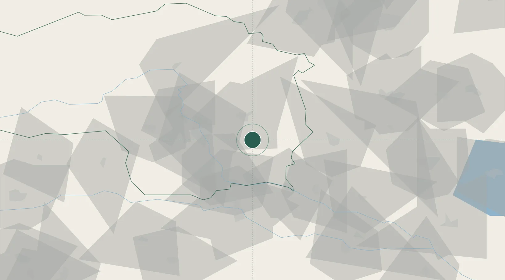
Kirchberg an der Raab
46.9833°, 15.7667°
982
Population
2
Transport functions
Transport Functions
Road
Multimodal
Hub Profile
Place type
District seat
Region
Styria
Population
982
Time zone
Europe/Vienna
Elevation
356 m
Location
Nearby Logistics Neighbours
Cities
- 1Sankt Margarethen an der Raab8 km
- 2Feldbach10 km
- 3Vasoldsberg17 km
- 4Fehring19 km
- 5Jennersdorf19 km
Ports
- 1Bakar210 km
- 2Rijeka Luka210 km
- 3Trieste215 km
- 4Monfalcone216 km
- 5Muggia217 km
Airports
- 1Graz Airport25 km
- 2Maribor Edvard Rusjan Airport56 km
- 3Hinterstoisser Air Base81 km
- 4Wiener Neustadt West Airport101 km
- 5Wiener Neustadt East Airport103 km
Trade Zones
- 1Sjever Free Zone89 km
- 2Krapina-Zagorje Free Zone93 km
- 3PJ Free Zone Zagreb132 km
- 4Free Zone Kukuljanovo207 km
- 5Free Port of Trieste215 km
DatabookThe Record of Consolidated Knowledge
Austria beyond logistics?