Transport Functions
Multimodal
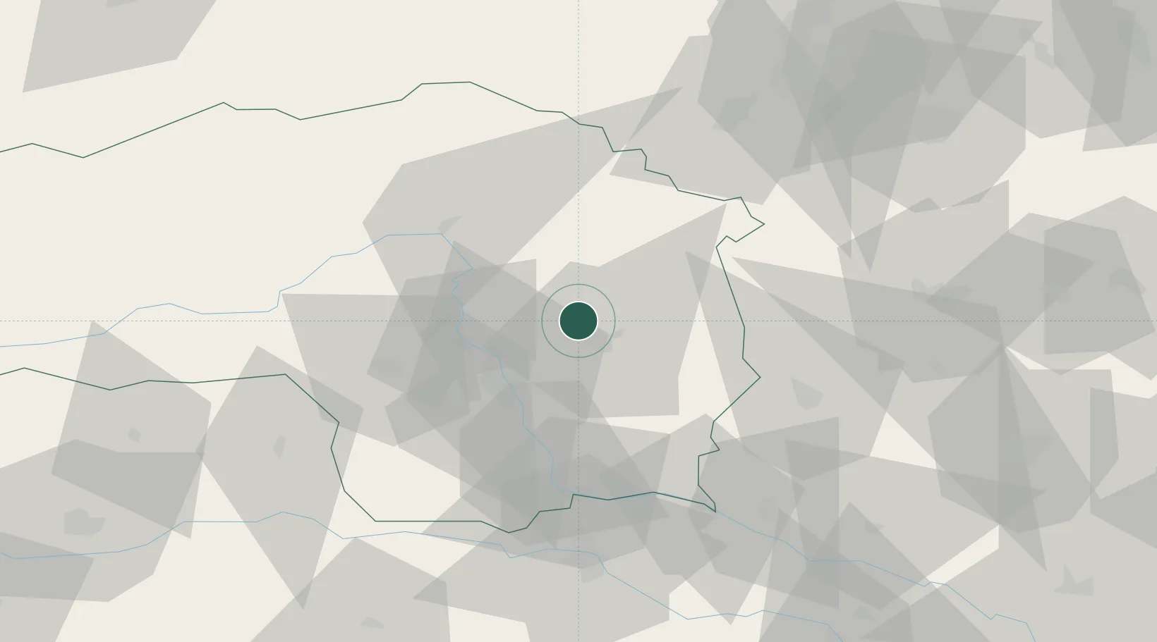
Hub Profile
Place type
Populated place
Region
Styria
Population
768
Time zone
Europe/Vienna
Elevation
527 m
Location
Nearby Logistics Neighbours
Cities
- 1Sankt Ruprecht an der Raab4 km
- 2Koglhof15 km
- 3Sankt Margarethen an der Raab17 km
- 4Birkfeld19 km
- 5Vasoldsberg22 km
Ports
- 1Monfalcone224 km
- 2Trieste224 km
- 3Rijeka Luka226 km
- 4Bakar226 km
- 5Muggia228 km
Airports
- 1Graz Airport27 km
- 2Hinterstoisser Air Base69 km
- 3Maribor Edvard Rusjan Airport78 km
- 4Wiener Neustadt West Airport84 km
- 5Wiener Neustadt East Airport87 km
Trade Zones
- 1Sjever Free Zone112 km
- 2Krapina-Zagorje Free Zone116 km
- 3PJ Free Zone Zagreb155 km
- 4Free Zone Kukuljanovo223 km
- 5Free Port of Trieste224 km
DatabookThe Record of Consolidated Knowledge
Austria beyond logistics?