UN/LOCODE hub · Austria
ATRRA
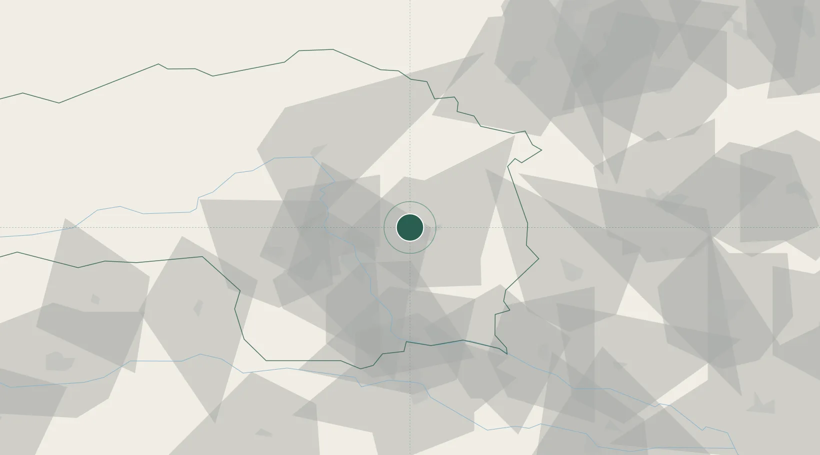
Sankt Ruprecht an der Raab
47.1500°, 15.6500°
1,231
Population
3
Transport functions
Transport Functions
Rail
Road
Multimodal
Hub Profile
Place type
District seat
Region
Styria
Population
1,231
Time zone
Europe/Vienna
Elevation
381 m
Location
Nearby Logistics Neighbours
Cities
- 1Preding4 km
- 2Sankt Margarethen an der Raab14 km
- 3Vasoldsberg18 km
- 4Koglhof19 km
- 5Raaba20 km
Ports
- 1Monfalcone221 km
- 2Trieste222 km
- 3Rijeka Luka223 km
- 4Bakar223 km
- 5Muggia225 km
Airports
- 1Graz Airport24 km
- 2Hinterstoisser Air Base69 km
- 3Maribor Edvard Rusjan Airport75 km
- 4Wiener Neustadt West Airport88 km
- 5Wiener Neustadt East Airport90 km
Trade Zones
- 1Sjever Free Zone109 km
- 2Krapina-Zagorje Free Zone112 km
- 3PJ Free Zone Zagreb151 km
- 4Free Zone Kukuljanovo220 km
- 5Free Port of Trieste222 km
DatabookThe Record of Consolidated Knowledge
Austria beyond logistics?