Transport Functions
Rail
Road
Hub Profile
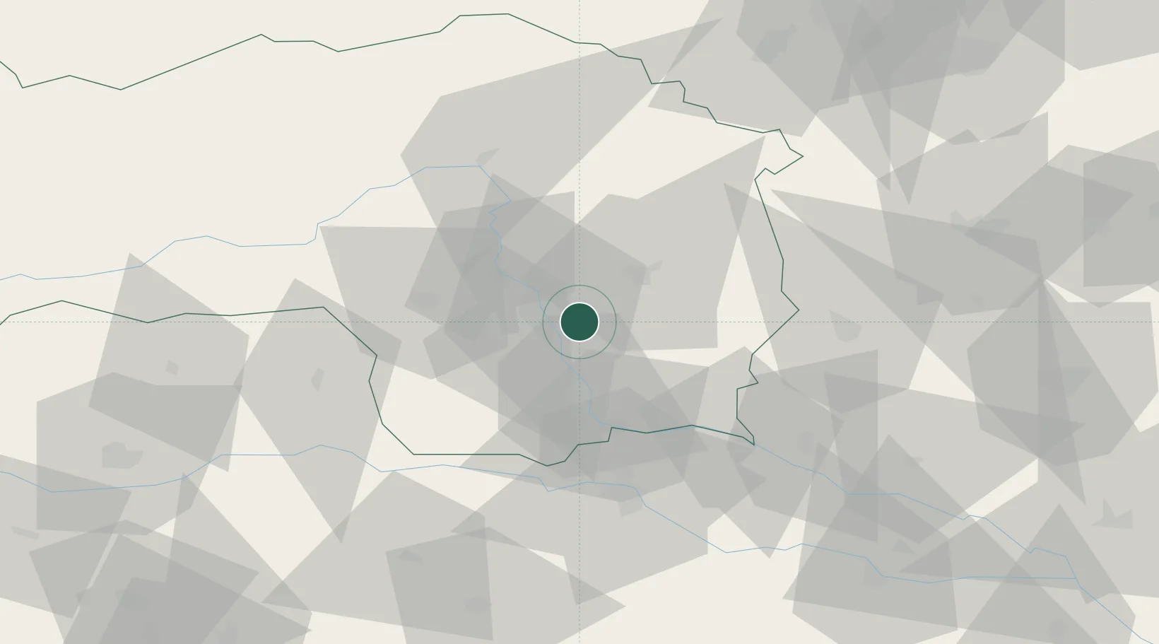
Place type
Populated place
Region
Styria
Population
4,572
Time zone
Europe/Vienna
Elevation
370 m
Location
Nearby Logistics Neighbours
Cities
- 1Hausmannstatten4 km
- 2Raaba5 km
- 3Gössendorf5 km
- 4Feldkirchen bei Graz8 km
- 5Graz10 km
Ports
- 1Trieste204 km
- 2Rijeka Luka204 km
- 3Monfalcone205 km
- 4Bakar205 km
- 5Muggia207 km
Airports
- 1Graz Airport8 km
- 2Maribor Edvard Rusjan Airport59 km
- 3Hinterstoisser Air Base65 km
- 4Klagenfurt Airport100 km
- 5Wiener Neustadt West Airport106 km
Trade Zones
- 1Krapina-Zagorje Free Zone98 km
- 2Sjever Free Zone99 km
- 3PJ Free Zone Zagreb136 km
- 4Free Zone Kukuljanovo202 km
- 5Free Port of Trieste204 km
DatabookThe Record of Consolidated Knowledge
Austria beyond logistics?