Transport Functions
Multimodal
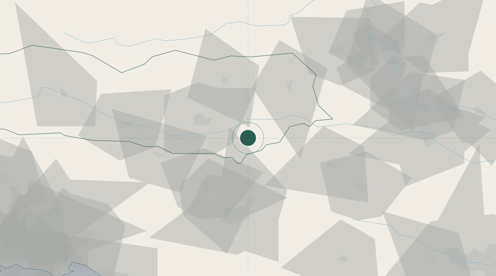
Hub Profile
Place type
District seat
Region
Carinthia
Population
173
Time zone
Europe/Vienna
Elevation
501 m
Location
Nearby Logistics Neighbours
Cities
- 1Sankt Kanzian am Klopeiner See9 km
- 2Kühnsdorf10 km
- 3Bleiburg16 km
- 4Mezica19 km
- 5Zgornje Jezersko20 km
Ports
- 1Monfalcone116 km
- 2Trieste118 km
- 3Muggia122 km
- 4Koper128 km
- 5Rijeka Luka134 km
Airports
- 1Klagenfurt Airport23 km
- 2Ljubljana Jože Pučnik Airport36 km
- 3Hinterstoisser Air Base75 km
- 4Graz Airport82 km
- 5Maribor Edvard Rusjan Airport83 km
Trade Zones
- 1Krapina-Zagorje Free Zone107 km
- 2Free Port of Trieste118 km
- 3PJ Free Zone Zagreb128 km
- 4Free Zone Kukuljanovo133 km
- 5Sjever Free Zone136 km
DatabookThe Record of Consolidated Knowledge
Austria beyond logistics?