Transport Functions
Rail
Road
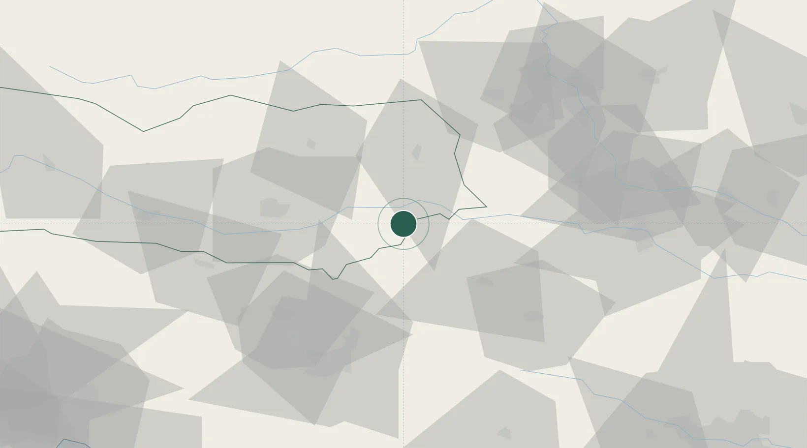
Location
Nearby Logistics Neighbours
Cities
- 1Mezica8 km
- 2Prevalje11 km
- 3Kühnsdorf13 km
- 4Sittersdorf16 km
- 5Sankt Kanzian am Klopeiner See17 km
Ports
- 1Monfalcone131 km
- 2Trieste132 km
- 3Muggia135 km
- 4Koper141 km
- 5Rijeka Luka142 km
Airports
- 1Klagenfurt Airport36 km
- 2Ljubljana Jože Pučnik Airport48 km
- 3Graz Airport67 km
- 4Maribor Edvard Rusjan Airport69 km
- 5Hinterstoisser Air Base69 km
Trade Zones
- 1Krapina-Zagorje Free Zone96 km
- 2PJ Free Zone Zagreb120 km
- 3Sjever Free Zone122 km
- 4Free Port of Trieste132 km
- 5Free Zone Kukuljanovo141 km
DatabookThe Record of Consolidated Knowledge
Austria beyond logistics?