Transport Functions
Rail
Road
Hub Profile
Region
2
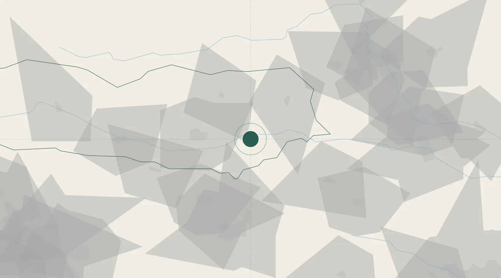
Location
Nearby Logistics Neighbours
Cities
- 1Sankt Kanzian am Klopeiner See4 km
- 2Sittersdorf10 km
- 3Bleiburg13 km
- 4Pischeldorf16 km
- 5Sankt Margrethen19 km
Ports
- 1Monfalcone125 km
- 2Trieste127 km
- 3Muggia131 km
- 4Koper137 km
- 5Rijeka Luka144 km
Airports
- 1Klagenfurt Airport23 km
- 2Ljubljana Jože Pučnik Airport46 km
- 3Hinterstoisser Air Base66 km
- 4Graz Airport74 km
- 5Maribor Edvard Rusjan Airport82 km
Trade Zones
- 1Krapina-Zagorje Free Zone109 km
- 2Free Port of Trieste127 km
- 3PJ Free Zone Zagreb132 km
- 4Sjever Free Zone136 km
- 5Free Zone Kukuljanovo143 km
DatabookThe Record of Consolidated Knowledge
Austria beyond logistics?