UN/LOCODE hub · Austria
ATSKK
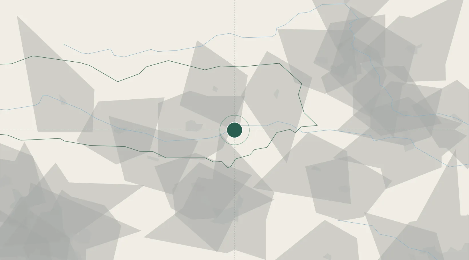
Sankt Kanzian am Klopeiner See
46.6167°, 14.5833°
3
Transport functions
Transport Functions
Rail
Road
Multimodal
Hub Profile
Region
2
Location
Nearby Logistics Neighbours
Cities
- 1Kühnsdorf4 km
- 2Sittersdorf9 km
- 3Pischeldorf13 km
- 4Sankt Margrethen15 km
- 5Bleiburg17 km
Ports
- 1Monfalcone122 km
- 2Trieste125 km
- 3Muggia129 km
- 4Koper136 km
- 5Grado142 km
Airports
- 1Klagenfurt Airport19 km
- 2Ljubljana Jože Pučnik Airport45 km
- 3Hinterstoisser Air Base66 km
- 4Graz Airport77 km
- 5Maribor Edvard Rusjan Airport86 km
Trade Zones
- 1Krapina-Zagorje Free Zone112 km
- 2Free Port of Trieste125 km
- 3PJ Free Zone Zagreb135 km
- 4Sjever Free Zone139 km
- 5Free Zone Kukuljanovo143 km
DatabookThe Record of Consolidated Knowledge
Austria beyond logistics?