UN/LOCODE hub · Slovenia
SIZ95
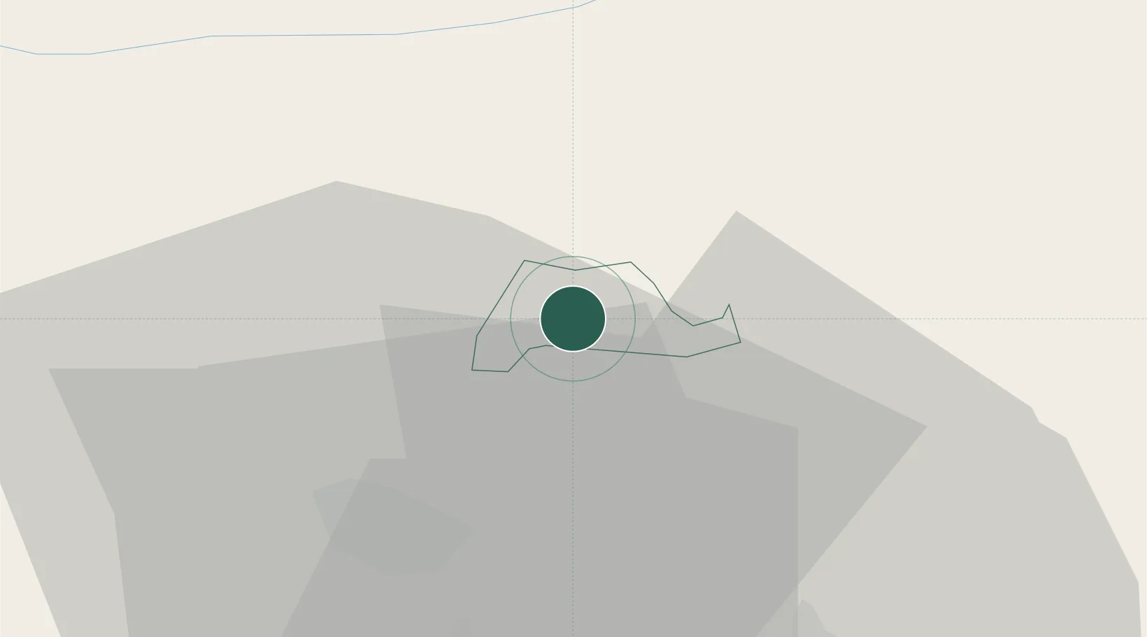
Zgornje Jezersko
46.3833°, 14.4667°
568
Population
2
Transport functions
Transport Functions
Port
Multimodal
Hub Profile
Place type
Regional capital
Region
Jezersko
Population
568
Time zone
Europe/Ljubljana
Elevation
985 m
Location
Nearby Logistics Neighbours
Cities
- 1Krize14 km
- 2Naklo16 km
- 3Zgornja Besnica19 km
- 4Sittersdorf20 km
- 5Suhadole23 km
Ports
- 1Monfalcone97 km
- 2Trieste99 km
- 3Muggia103 km
- 4Koper109 km
- 5Rijeka Luka117 km
Airports
Trade Zones
- 1Free Port of Trieste99 km
- 2Krapina-Zagorje Free Zone111 km
- 3Free Zone Kukuljanovo117 km
- 4PJ Free Zone Zagreb127 km
- 5Port of Rijeka Free Zone133 km
DatabookThe Record of Consolidated Knowledge
Slovenia beyond logistics?