UN/LOCODE hub · Austria
ATSBK
Spielberg bei Knittelfeld
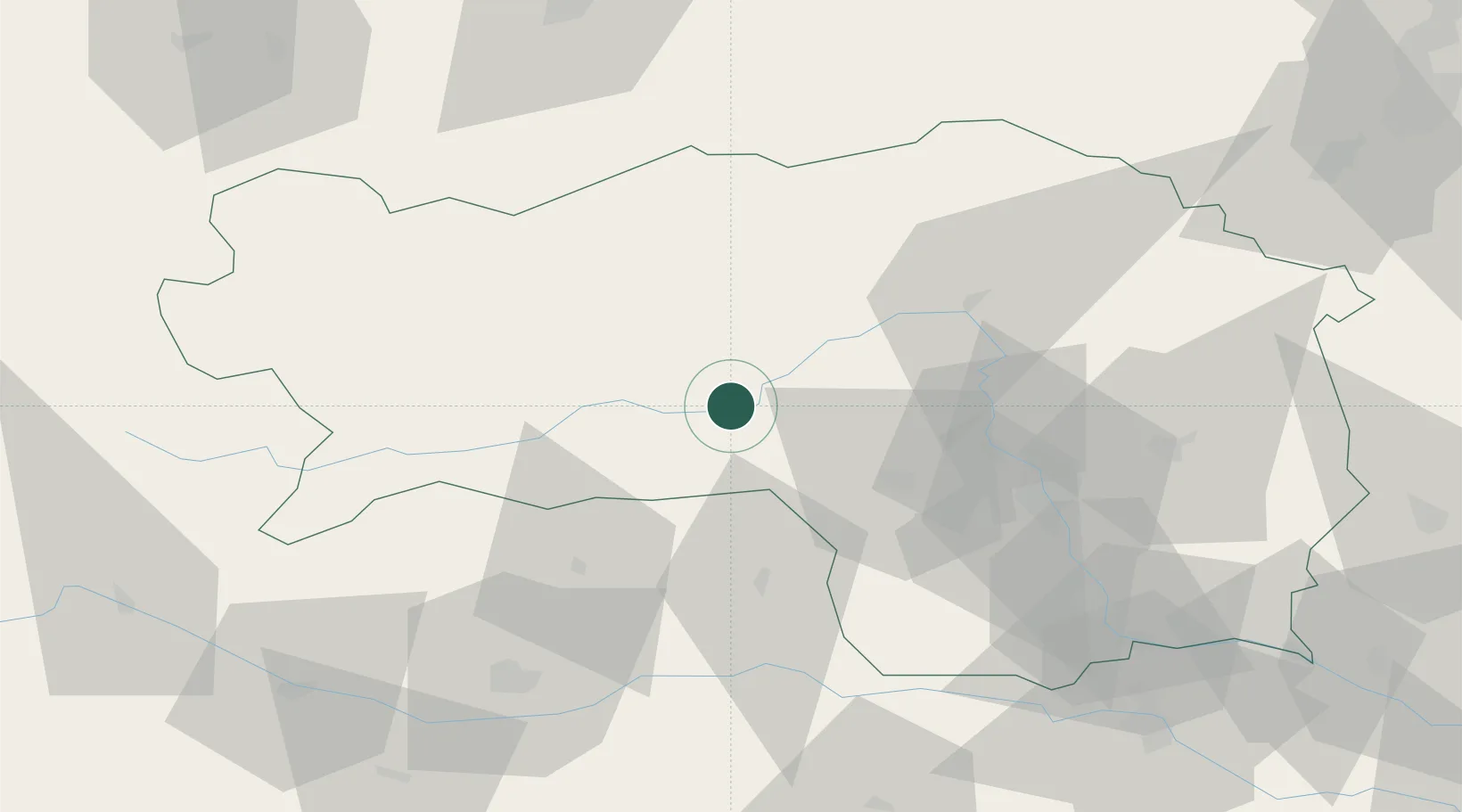
47.2167°, 14.7833°
4,228
Population
1
Transport functions
Transport Functions
Multimodal
Hub Profile
Place type
District seat
Region
Styria
Population
4,228
Time zone
Europe/Vienna
Elevation
707 m
Location
Nearby Logistics Neighbours
Cities
- 1Knittelfeld3 km
- 2Eppenstein10 km
- 3Pöls16 km
- 4Kammern im Liesingtal22 km
- 5Mnichovice26 km
Ports
- 1Monfalcone185 km
- 2Trieste191 km
- 3Muggia196 km
- 4Koper202 km
- 5Grado204 km
Airports
- 1Hinterstoisser Air Base3 km
- 2Graz Airport56 km
- 3Klagenfurt Airport72 km
- 4Maribor Edvard Rusjan Airport107 km
- 5Ljubljana Jože Pučnik Airport113 km
Trade Zones
- 1Krapina-Zagorje Free Zone145 km
- 2Sjever Free Zone157 km
- 3PJ Free Zone Zagreb178 km
- 4Free Port of Trieste192 km
- 5Free Zone Kukuljanovo210 km
DatabookThe Record of Consolidated Knowledge
Austria beyond logistics?