Transport Functions
Rail
Road
Hub Profile
Region
8
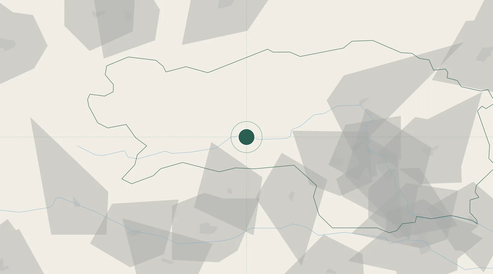
Location
Nearby Logistics Neighbours
Cities
- 1Eppenstein16 km
- 2Spielberg bei Knittelfeld16 km
- 3Niederwölz17 km
- 4Knittelfeld19 km
- 5Mnichovice28 km
Ports
- 1Monfalcone177 km
- 2Trieste185 km
- 3Muggia190 km
- 4Nogaro194 km
- 5Grado195 km
Airports
- 1Hinterstoisser Air Base14 km
- 2Klagenfurt Airport66 km
- 3Graz Airport71 km
- 4Ljubljana Jože Pučnik Airport111 km
- 5Linz-Hörsching Airport117 km
Trade Zones
- 1Krapina-Zagorje Free Zone155 km
- 2Sjever Free Zone170 km
- 3Free Port of Trieste185 km
- 4PJ Free Zone Zagreb187 km
- 5Free Zone Kukuljanovo209 km
DatabookThe Record of Consolidated Knowledge
Austria beyond logistics?