Transport Functions
Port
Rail
Road
Hub Profile
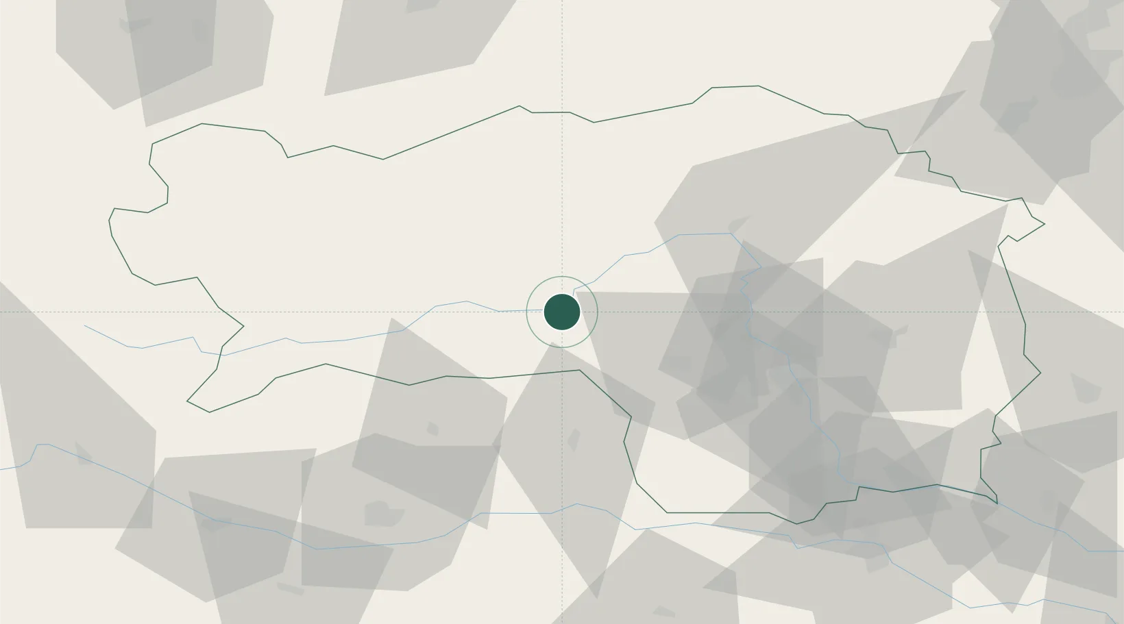
Place type
District seat
Region
Styria
Population
11,521
Time zone
Europe/Vienna
Elevation
654 m
Location
Nearby Logistics Neighbours
Cities
- 1Spielberg bei Knittelfeld3 km
- 2Eppenstein10 km
- 3Pöls19 km
- 4Kammern im Liesingtal23 km
- 5Mnichovice25 km
Ports
- 1Monfalcone185 km
- 2Trieste191 km
- 3Muggia195 km
- 4Koper201 km
- 5Grado204 km
Airports
- 1Hinterstoisser Air Base6 km
- 2Graz Airport53 km
- 3Klagenfurt Airport72 km
- 4Maribor Edvard Rusjan Airport104 km
- 5Ljubljana Jože Pučnik Airport112 km
Trade Zones
- 1Krapina-Zagorje Free Zone142 km
- 2Sjever Free Zone154 km
- 3PJ Free Zone Zagreb176 km
- 4Free Port of Trieste191 km
- 5Free Zone Kukuljanovo209 km
DatabookThe Record of Consolidated Knowledge
Austria beyond logistics?