UN/LOCODE hub · Austria
ATKAM
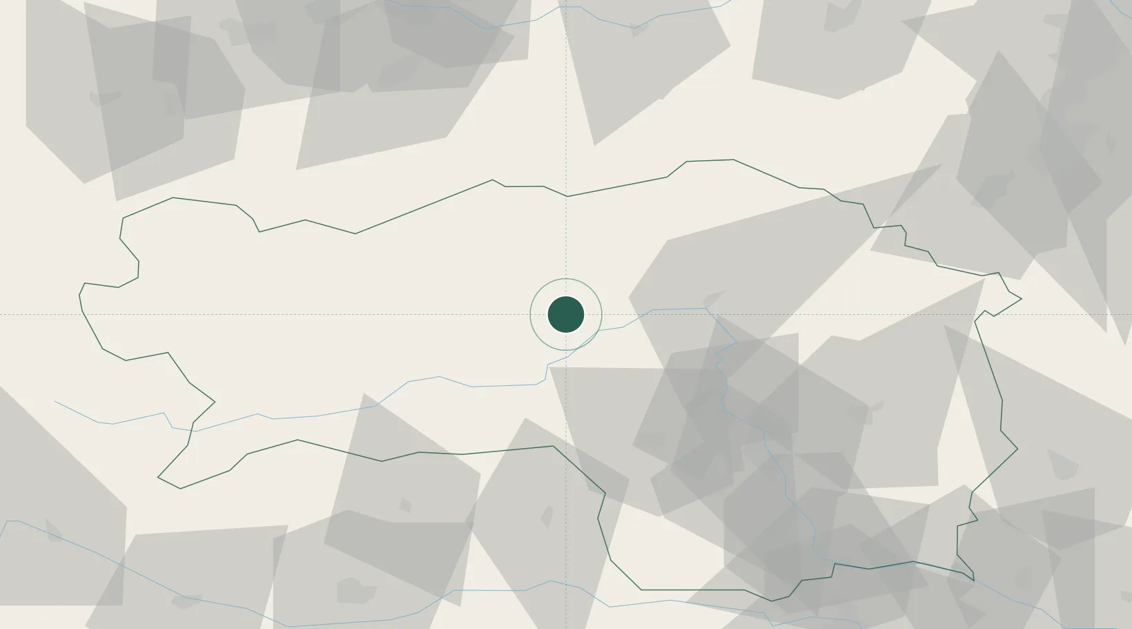
Kammern im Liesingtal
47.4000°, 14.9000°
885
Population
3
Transport functions
Transport Functions
Port
Rail
Road
Hub Profile
Place type
District seat
Region
Styria
Population
885
Time zone
Europe/Vienna
Elevation
666 m
Location
Nearby Logistics Neighbours
Cities
- 1Vordernberg11 km
- 2Spielberg bei Knittelfeld22 km
- 3Knittelfeld23 km
- 4Oberaich24 km
- 5Eppenstein32 km
Ports
- 1Monfalcone207 km
- 2Trieste214 km
- 3Muggia218 km
- 4Koper224 km
- 5Nogaro226 km
Airports
- 1Hinterstoisser Air Base25 km
- 2Graz Airport61 km
- 3Klagenfurt Airport94 km
- 4Linz-Hörsching Airport107 km
- 5Wiener Neustadt West Airport110 km
Trade Zones
- 1Krapina-Zagorje Free Zone158 km
- 2Sjever Free Zone165 km
- 3PJ Free Zone Zagreb193 km
- 4Free Port of Trieste214 km
- 5Freeport of Deggendorf219 km
DatabookThe Record of Consolidated Knowledge
Austria beyond logistics?