Transport Functions
Multimodal
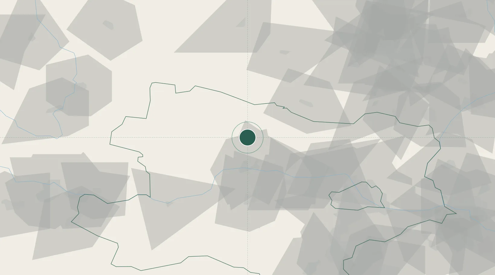
Hub Profile
Place type
Populated place
Region
Lower Austria
Population
334
Time zone
Europe/Vienna
Elevation
268 m
Location
Nearby Logistics Neighbours
Cities
- 1Hötzelsdorf15 km
- 2Geras17 km
- 3Zobing17 km
- 4Japons17 km
- 5Limberg18 km
Ports
- 1Monfalcone354 km
- 2Trieste361 km
- 3Muggia366 km
- 4Nogaro370 km
- 5Grado371 km
Airports
Trade Zones
DatabookThe Record of Consolidated Knowledge
Austria beyond logistics?