UN/LOCODE hub · Austria
ATHZF

Hötzelsdorf

48.7667°, 15.6500°
2
Transport functions

Transport Functions

Road
Multimodal
UN/LOCODE

Hub Profile

Region
3
GeoNames

Location

Location of ATHZF
Natural Earth 10m (public domain) · 3 · ATHZF · 48.77, 15.65GoogleOSMYandex

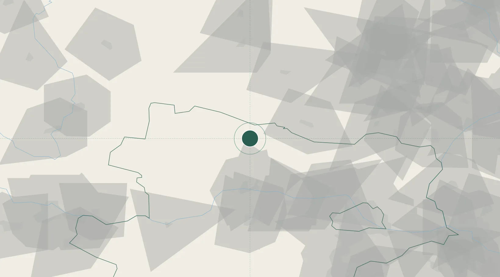
Nearby Logistics Neighbours

Cities
  1. 1Geras2 km
  2. 2Japons6 km
  3. 3Rosenburg15 km
  4. 4Schrattenthal20 km
  5. 5Retz22 km
Nearest neighbours — logibook spatial index (haversine) over the source coordinates
Ports
  1. 1Monfalcone368 km
  2. 2Trieste375 km
  3. 3Muggia380 km
  4. 4Nogaro383 km
  5. 5Grado385 km
Nearest neighbours — logibook spatial index (haversine) over the source coordinates
Airports
  1. 1Náměšť Air Base56 km
  2. 2Brno-Tuřany Airport87 km
  3. 3České Budějovice South Bohemian Airport92 km
  4. 4Vienna International Airport100 km
  5. 5Wiener Neustadt West Airport112 km
Nearest neighbours — logibook spatial index (haversine) over the source coordinates
Trade Zones
  1. 1Černovická Terasa Industrial Zone87 km
  2. 2Světlá nad Sázavou Municipal Industrial Zone102 km
  3. 3Veselí nad Moravou Industrial Zone128 km
  4. 4Industrial Zone Kutna Hora133 km
  5. 5Pardubice City Industrial Zone140 km
Nearest neighbours — logibook spatial index (haversine) over the source coordinates
DatabookThe Record of Consolidated Knowledge
Austria beyond logistics?
Browse databook

All Sources

LocationsUN/LOCODE
UN/LOCODE — free
Portsthe NGA World Port Index
Public domain (US gov)
AirportsOurAirports
Public domain
Trade Zonesthe World Bank SEZ database
CC BY 4.0
Trade ZonesOpen Zone Map
CC BY
← Austria locations