Transport Functions
Rail
Road
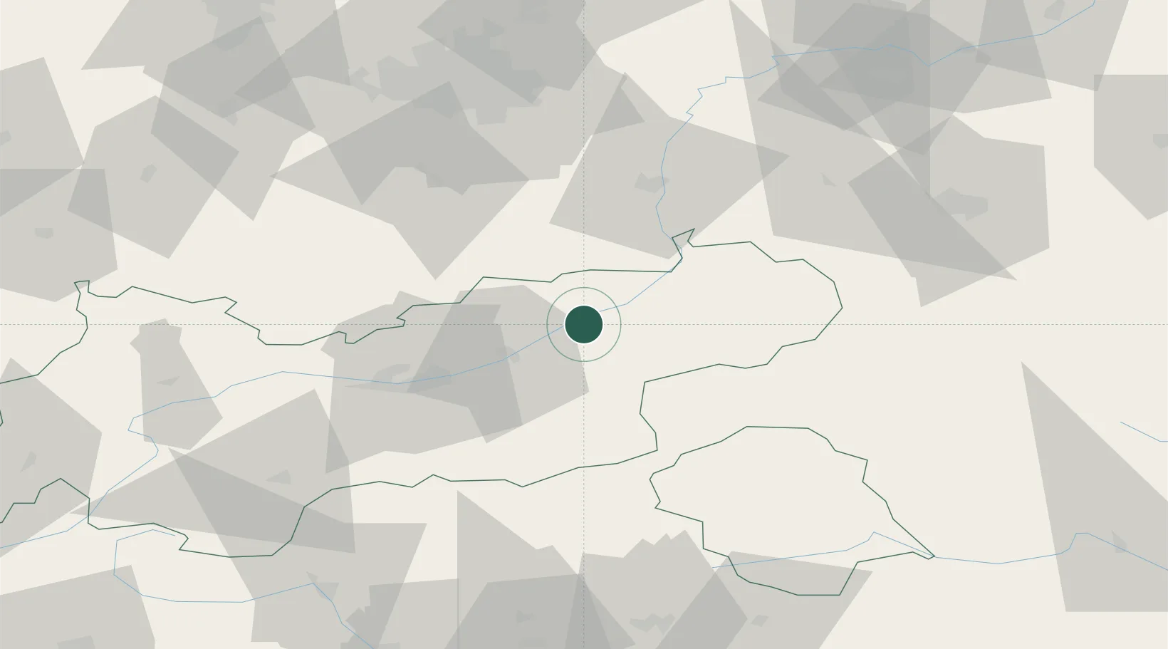
Hub Profile
Place type
District seat
Region
Tyrol
Population
2,495
Time zone
Europe/Vienna
Elevation
512 m
Location
Nearby Logistics Neighbours
Cities
- 1Kirchbichl15 km
- 2Uderns15 km
- 3Vomp23 km
- 4Terfens25 km
- 5Weer27 km
Ports
- 1Nogaro211 km
- 2Grado222 km
- 3Monfalcone223 km
- 4Porto Di Lido-Venezia230 km
- 5Trieste244 km
Airports
- 1Innsbruck Airport48 km
- 2Oberpfaffenhofen Airport85 km
- 3Salzburg Airport90 km
- 4Munich Airport101 km
- 5Altstetten Ultralight Field106 km
Trade Zones
- 1Livigno Free Trade Zone172 km
- 2Freeport of Deggendorf172 km
- 3Free Port of Venice227 km
- 4Consorzio Zona Industriale e Porto Fluviale di Padova229 km
- 5Free Port of Trieste245 km
DatabookThe Record of Consolidated Knowledge
Austria beyond logistics?