Transport Functions
Multimodal
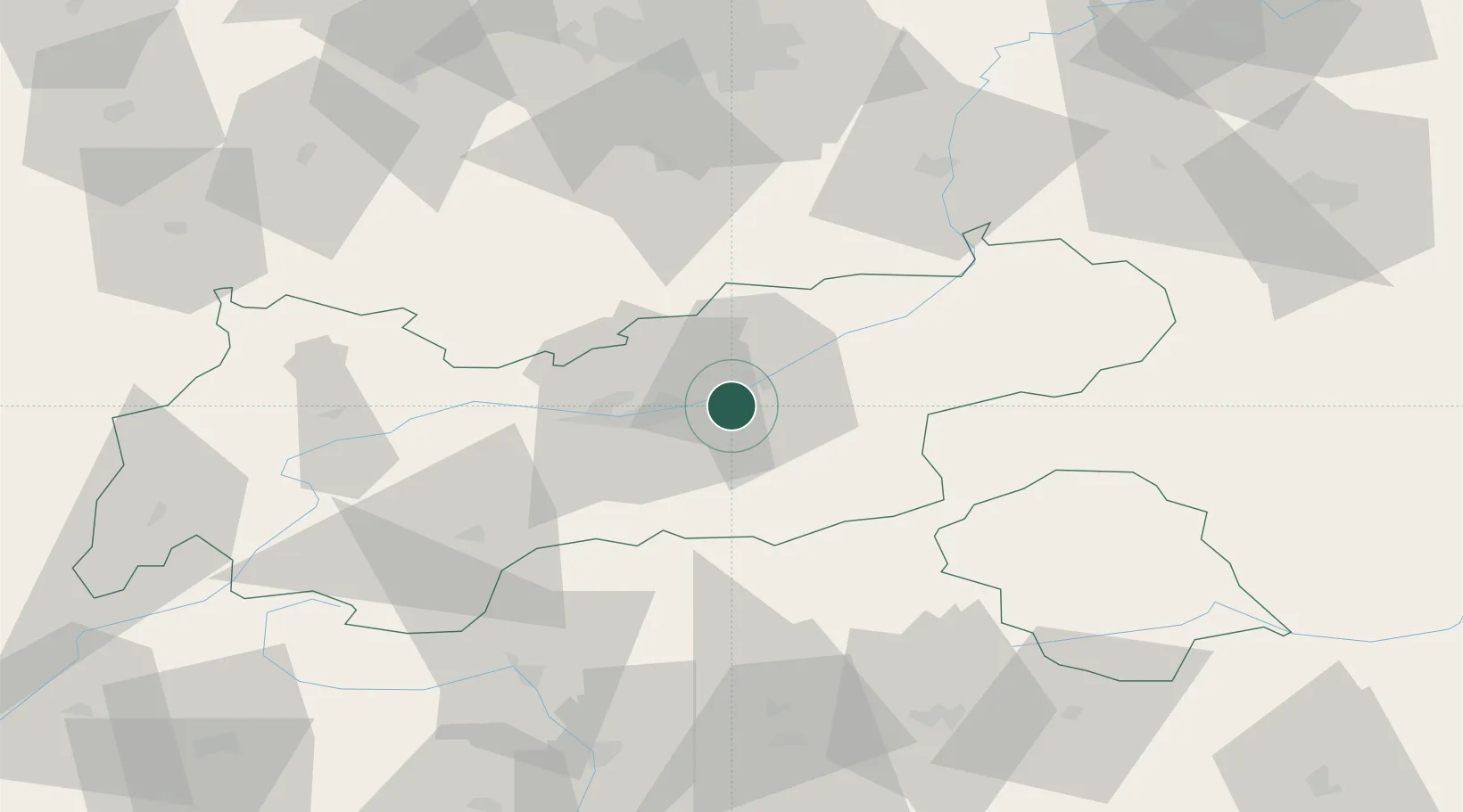
Hub Profile
Place type
District seat
Region
Tyrol
Population
1,539
Time zone
Europe/Vienna
Elevation
563 m
Location
Nearby Logistics Neighbours
Ports
- 1Nogaro208 km
- 2Porto Di Lido-Venezia218 km
- 3Grado219 km
- 4Monfalcone223 km
- 5Porto Di Chioggia235 km
Airports
- 1Innsbruck Airport22 km
- 2Oberpfaffenhofen Airport91 km
- 3Bolzano Airport96 km
- 4Lechfeld Air Base114 km
- 5Altstetten Ultralight Field115 km
Trade Zones
- 1Livigno Free Trade Zone145 km
- 2Freeport of Deggendorf196 km
- 3Consorzio Zona Industriale e Porto Fluviale di Padova214 km
- 4Free Port of Venice214 km
- 5Free Port of Trieste245 km
DatabookThe Record of Consolidated Knowledge
Austria beyond logistics?