Transport Functions
Rail
Road
Multimodal
Hub Profile
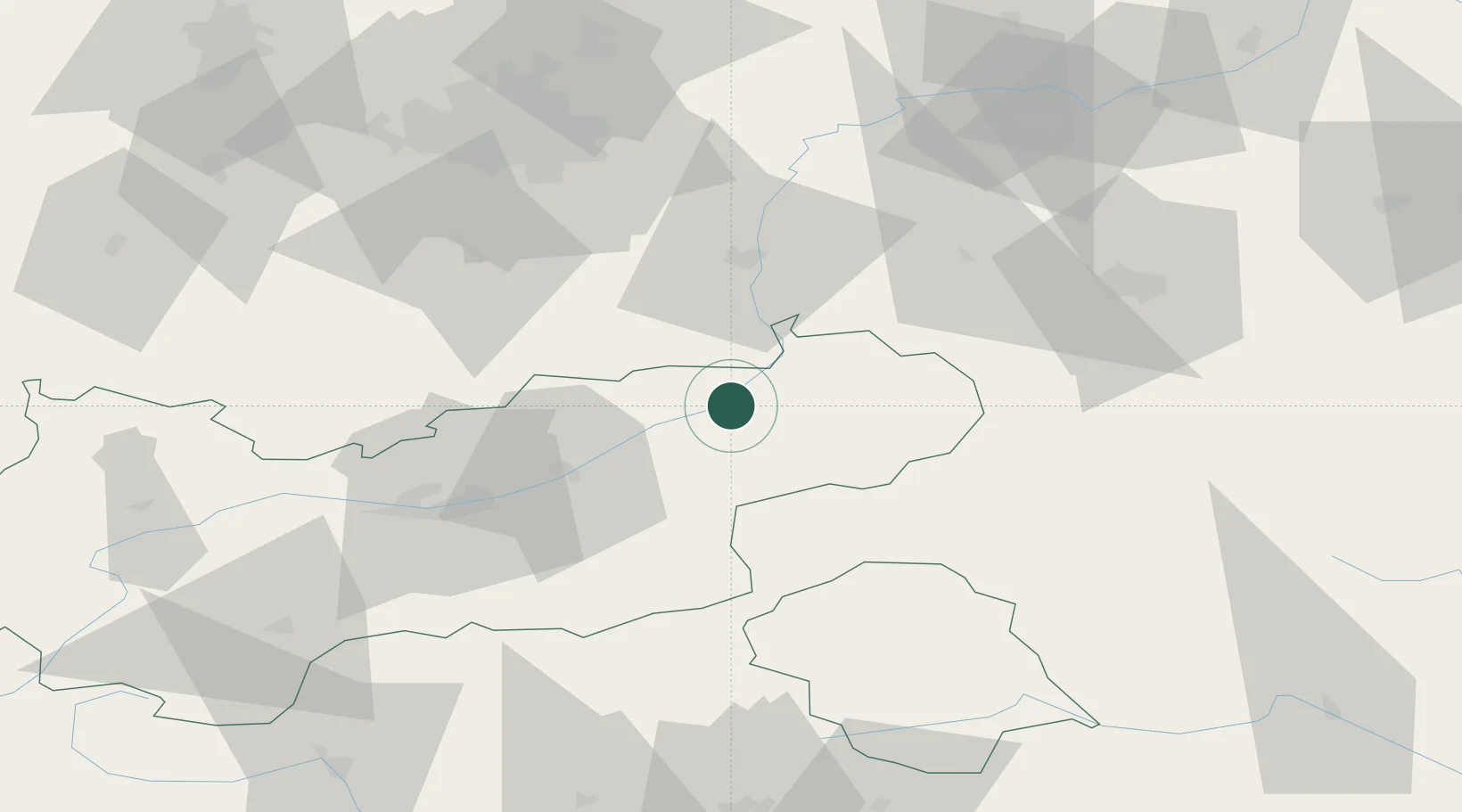
Place type
Populated place
Region
Tyrol
Population
5,855
Time zone
Europe/Vienna
Elevation
529 m
Location
Nearby Logistics Neighbours
Cities
- 1Radfeld15 km
- 2Erl18 km
- 3Aurach23 km
- 4Brannenburg24 km
- 5Uderns28 km
Ports
- 1Nogaro212 km
- 2Grado223 km
- 3Monfalcone223 km
- 4Porto Di Lido-Venezia235 km
- 5Trieste243 km
Airports
- 1Innsbruck Airport63 km
- 2Salzburg Airport76 km
- 3Oberpfaffenhofen Airport87 km
- 4Munich Airport96 km
- 5Altstetten Ultralight Field106 km
Trade Zones
- 1Freeport of Deggendorf160 km
- 2Livigno Free Trade Zone186 km
- 3Free Port of Venice233 km
- 4Consorzio Zona Industriale e Porto Fluviale di Padova237 km
- 5Free Port of Trieste244 km
DatabookThe Record of Consolidated Knowledge
Austria beyond logistics?