Transport Functions
Rail
Road
Hub Profile
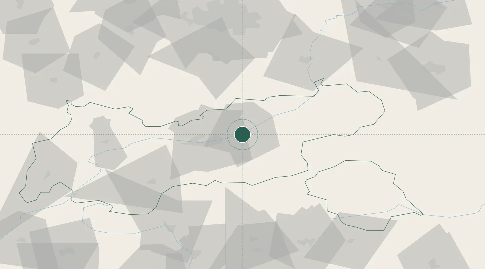
Place type
Populated place
Region
Tyrol
Population
3,287
Time zone
Europe/Vienna
Elevation
542 m
Location
Nearby Logistics Neighbours
Ports
- 1Nogaro209 km
- 2Grado221 km
- 3Porto Di Lido-Venezia221 km
- 4Monfalcone225 km
- 5Porto Di Chioggia239 km
Airports
- 1Innsbruck Airport26 km
- 2Oberpfaffenhofen Airport88 km
- 3Bolzano Airport101 km
- 4Altstetten Ultralight Field112 km
- 5Lechfeld Air Base112 km
Trade Zones
- 1Livigno Free Trade Zone149 km
- 2Freeport of Deggendorf192 km
- 3Consorzio Zona Industriale e Porto Fluviale di Padova217 km
- 4Free Port of Venice217 km
- 5Free Port of Trieste246 km
DatabookThe Record of Consolidated Knowledge
Austria beyond logistics?