Transport Functions
Port
Rail
Road
Hub Profile
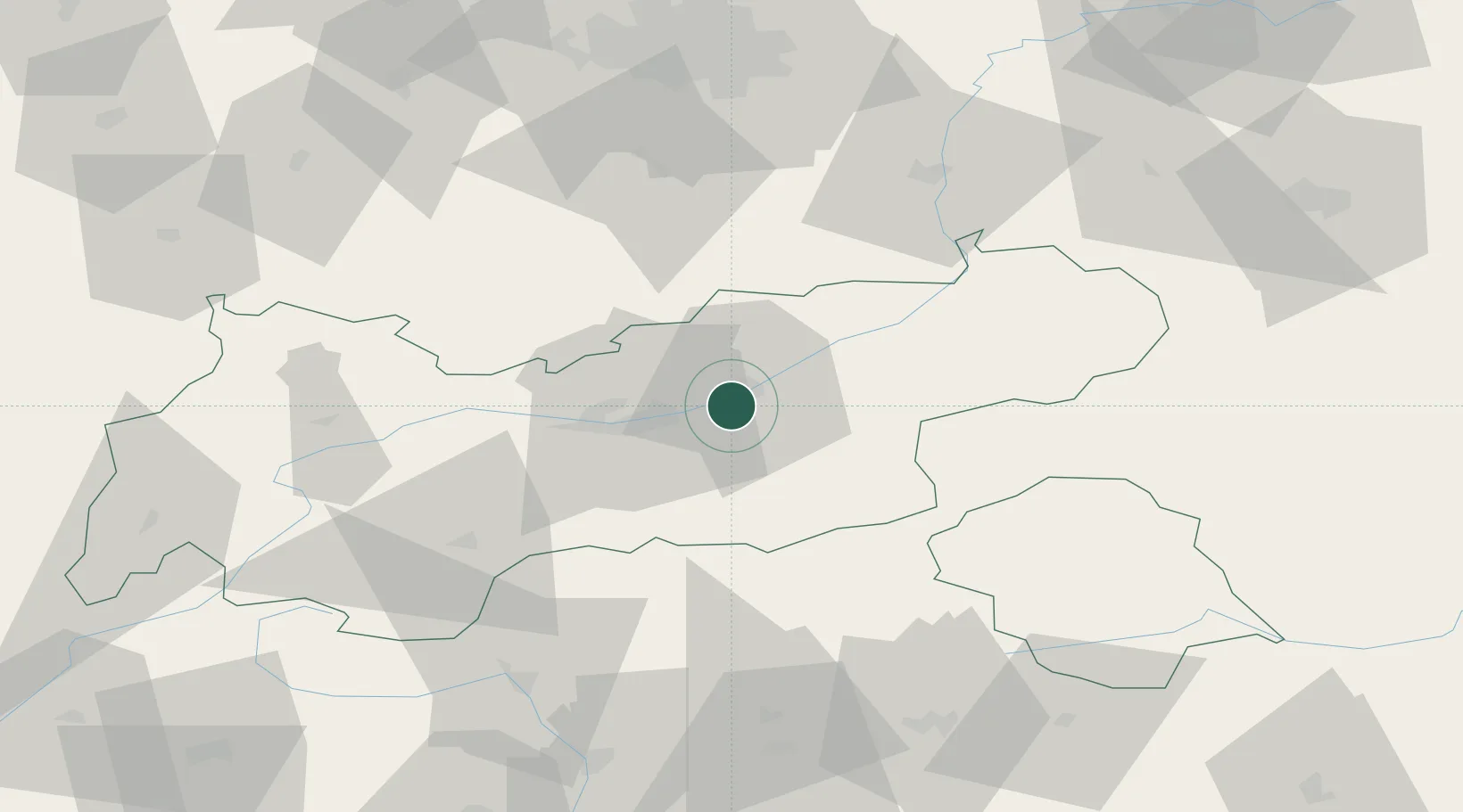
Place type
District seat
Region
Tyrol
Population
417
Time zone
Europe/Vienna
Elevation
587 m
Location
Nearby Logistics Neighbours
Ports
- 1Nogaro209 km
- 2Porto Di Lido-Venezia220 km
- 3Grado220 km
- 4Monfalcone224 km
- 5Porto Di Chioggia237 km
Airports
- 1Innsbruck Airport24 km
- 2Oberpfaffenhofen Airport89 km
- 3Bolzano Airport99 km
- 4Lechfeld Air Base113 km
- 5Altstetten Ultralight Field113 km
Trade Zones
- 1Livigno Free Trade Zone147 km
- 2Freeport of Deggendorf194 km
- 3Consorzio Zona Industriale e Porto Fluviale di Padova215 km
- 4Free Port of Venice216 km
- 5Free Port of Trieste246 km
DatabookThe Record of Consolidated Knowledge
Austria beyond logistics?